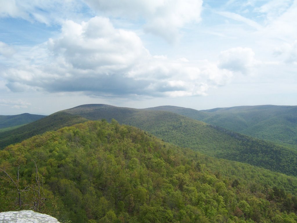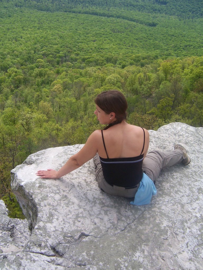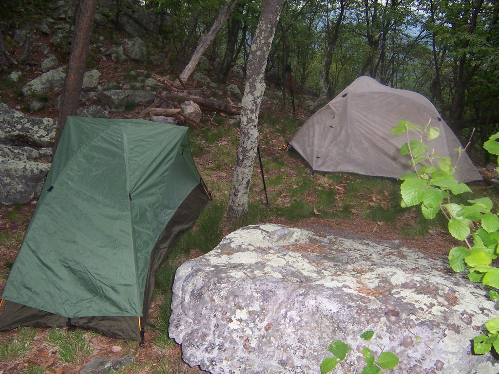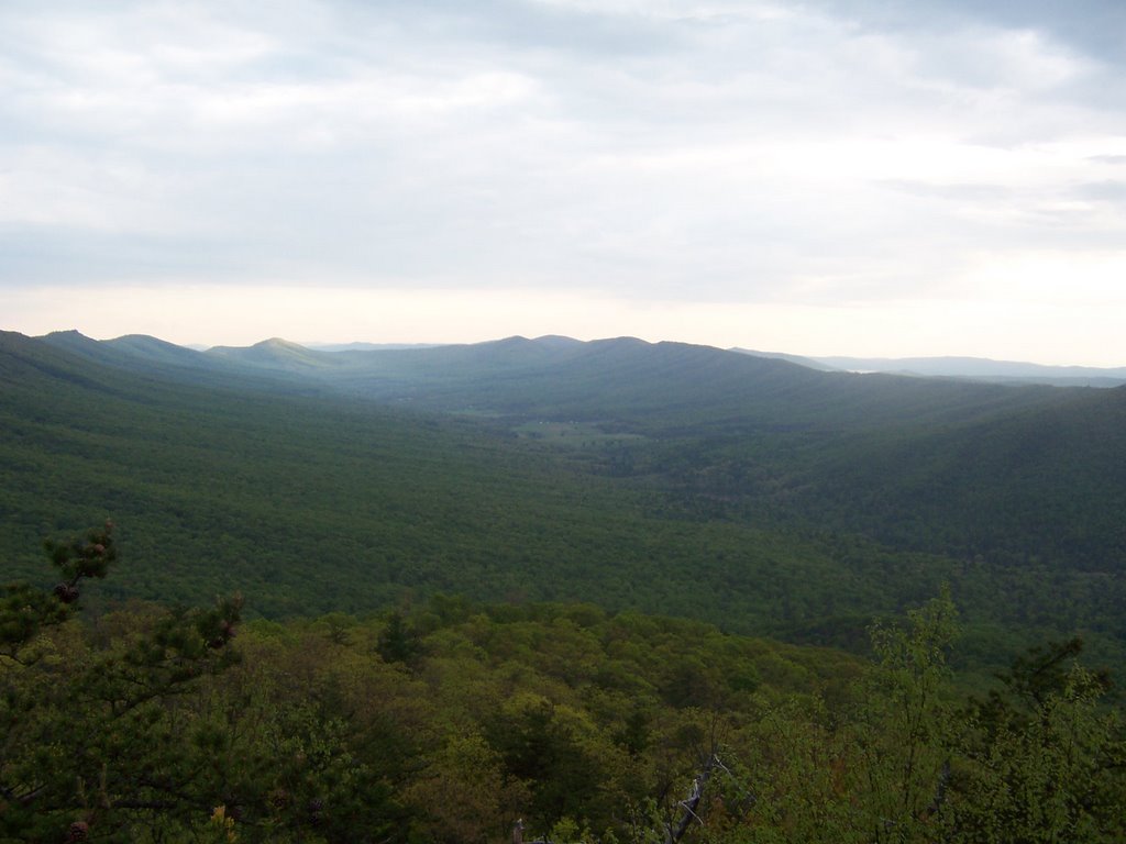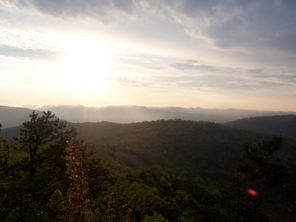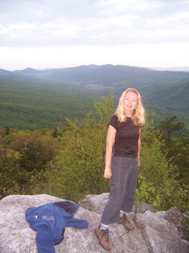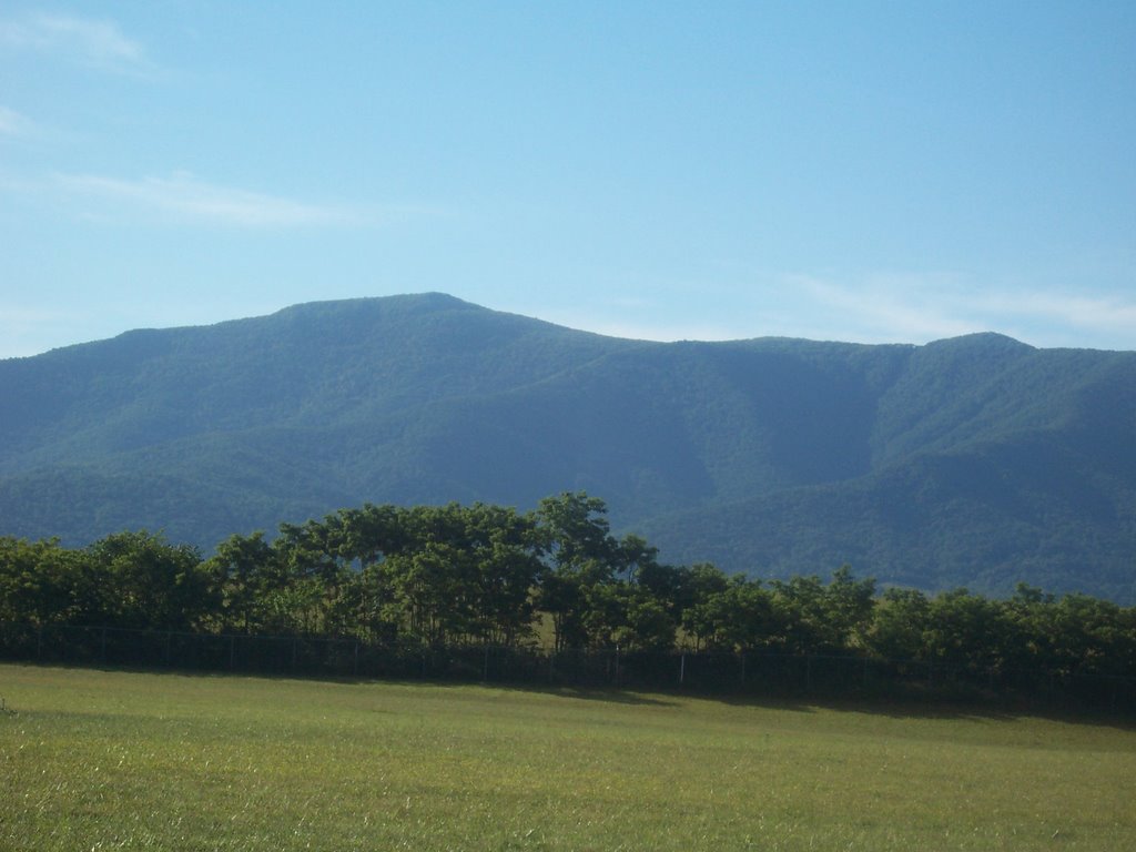
Leading Ridge Trail, Shenandoah National Park, Luray, Virginia


They see me rollin
They hatin
Patrolling
they tryin to catch me ridin dirty
Tryin to catch me ridin dirty


The Shenandoah’s have never been my favorite mountain range.  Mind you, they are a perfectly good set of mountains, but I have real issues with that Skyline Drive at the top so I tend to bypass them and head towards the more secluded and laid-back West Virginia.  But rumors were spreading among my hiker friends about a trail that had 2000 feet of elevation change in 1.2 miles.  This had to be experienced.

I headed out toward Luray, VA on Friday, I had visited Luray back in November and was charmed so I decided to return to this little mountain town.  The economy has been kind to Luray and the place seems flush, they have built 2 massive parks for it residents, Lake Arrowhead Park and the Luray Recreational Area.  Luray touts itself as a town of family values.  You see signs proclaiming stores and businesses are for “families”, as in “Family Convenience Store”.  The Luray Wal-Mart Super center teaches children “family values", the public park is "family-friendly".   Needless to say, as a woman with no family and no values, Luray did me just fine.
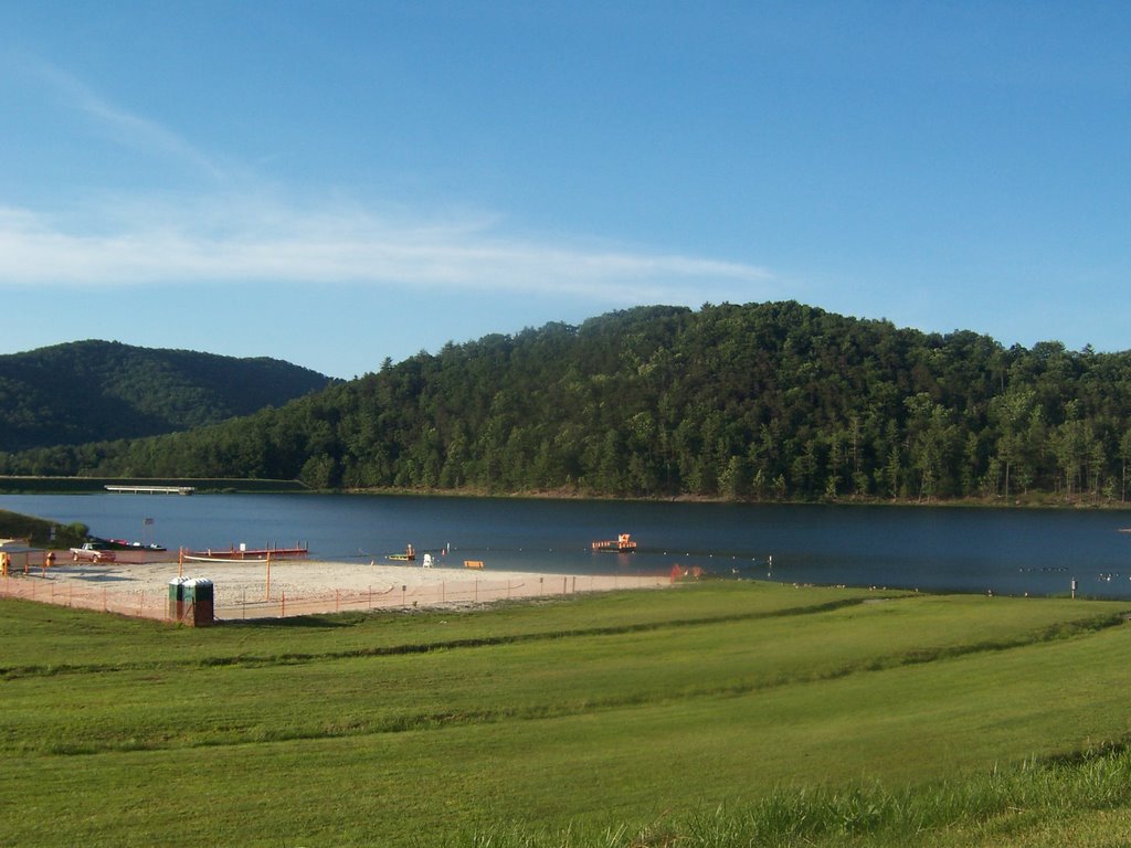
I made copious use of all of Luray’s family resources.  I cooked all my meals at the 2 family parks, I used the family trash cans, I washed my dishes in the family lake,  I jumped on a local family’s internet connection to check my email and I slept in the parking lot of the family-oriented businesses.   Unfortunately for Luray, I put no money into the local economy, perhaps if the made this single woman feel more welcome I would have spread my money around a bit more.

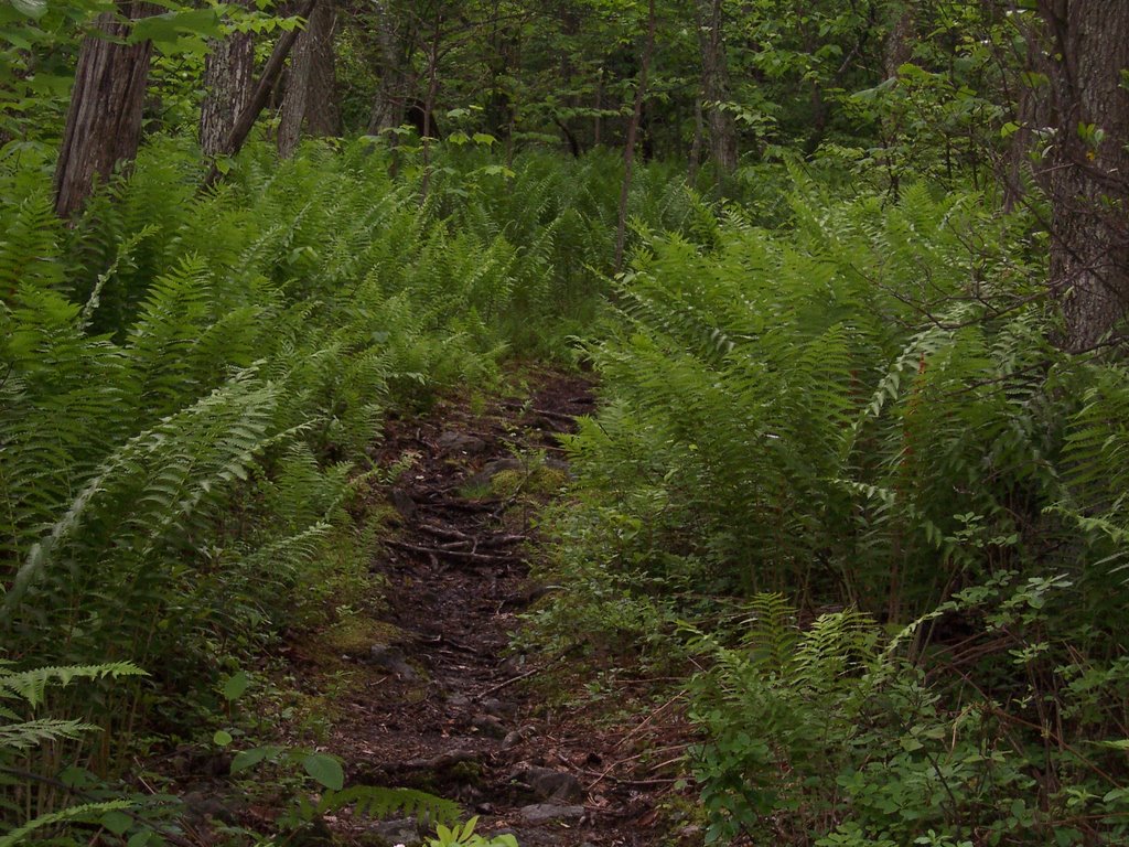
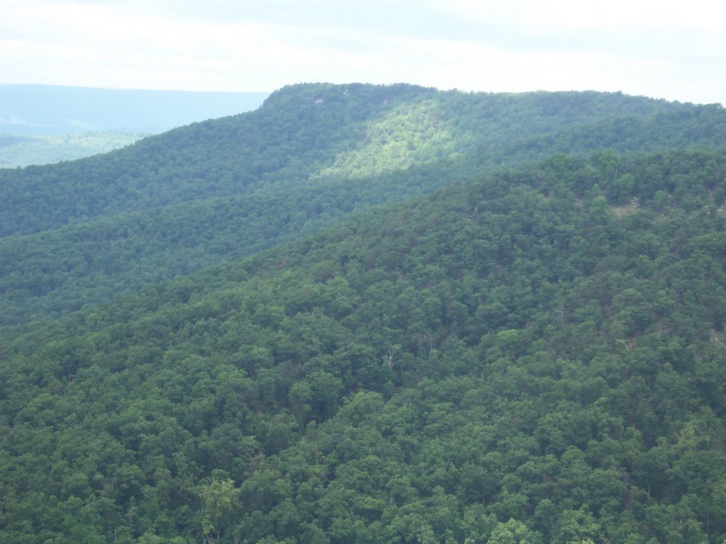
Saturday morning I rose early and found the trail (more on that later).  I was able to complete the 2000 foot rise in an hour.  The Leading Ridge Trail starts at the base of Mary’s Rock near Thornton Gap in the mid Shenandoah’s; it is a wonderful unmaintained trail with few rocks.  I recommend it for hikers that like fast rises and are in good shape.  Once I got to the intersection of the AT I met a NoBo thruhiker from Dallas.  I mentioned that I thought he was passing through a bit late, he said he didn’t want to hike in the snow so he left in early April.  I hope he realizes that he is going to head straight into the black flies in Maine in September.  Snow is nothing compared to those vicious man-eating flies.  

Then I met some PATC trail manicurers.  I made the mistake of mentioning that I had hiked up the Leading Ridge Trail.  One of them demanded to know where I started on that trail.  You see, there is no public access at the base of the mountain for the Leading Ridge Trail, but that wasn’t going to stop me.  My guess is that years ago at the trails inception a land-owner didn’t mind hikers walking on his property to get into the park.  However, as property values have skyrocketed and land has changed hands, the most recent land-owners are adamant that no wayward hiker step his little toe on their precious property.  

But “No Trespassing” signs have never stopped Cham ever.  I explained to the PATC guy that I merely studied my PATC topo map, compared it to the topography of the area, made a guestimate of where the trail might be and bushwhacked my way in to the park on private property.   Mr. Trail overseer didn’t seem happy.   I am sure he had visions of putting a big chain-link fence to keep hikers like me from breaking the PATC rules.  Don’t worry folks, I own a bolt cutter.

The Appalachian Trail at the top of the Shenandoah’s is awful.  The PATC has over-maintained it.  The trail is without impediments, has been graded, has way too many signs and, worst of all, has little rule placards about where you can camp, removing your trash, leaving no trace, and various other little tidbits that are an insult to everyone.  The might as well pave it and provide electric golf carts for the hikers.    You spend more time reading the signage than enjoying the hike.  

I appreciated the view off of Mary’s Rock but the wind had picked up and I decided to cut my hike short.  
The mountain laurel is now in full bloom and is very plentiful at around the 2500 feet elevation.


Once I got down to the bottom I noticed the property owner was busy shooting cans in his yard.  Figuring the owner could easily shoot me as I trespassed (“Officer, I thought the hiker posed a threat to the safety of my family so I had no choice but to shoot her”. Never trust those gun-lovers.) I decided to bushwhack through another’s yard.

On Sunday I had plans to tube on the South Fork of the Shenandoah River but it was a little chilly so instead I took a ride on Skyline Drive since I still had the parks pass from the Grand Canyon trip.  The drive made me dizzy.  I would much rather hike to the top of a mountain than drive it.  Never again.


Pond Run Trail, White Rocks Trail, Sugar Knob, Tuscarora Trail, West Virginia

This week lent itself to backpacking because I already had a nice bag of food neatly packed in my refrigerator,(reference the entry from last week). However, after having a raucous week of spirited sales phone calls with customers, bosses, and worst of all...evil evil satanic channel managers I decided I didn't want to see or talk to anyone, which meant group hiking was out of the question.


I have hiked most of the popular trails around so I started looking around on the net for a place that wouldn't be populated, could give me some decent elevation changes and mileage, and not too long a drive from Charm City. I stumbled upon this hike from MidAtlantic hikes, a site set up by some guy who is active in the HoCo Sierra Club. The hike includes a segment on the Pond Run Trail which doubles as a segment of the Tuscarora Trail.

Some background: When the Appalachian Trail was set up back in the 1930's, the creators may not have secured the right-of-way of the trail through private lands. This became abundantly apparent later on when landowners started wondering why all sorts of backpackers were straggling through a white-dotted path on their land without their permission. Concerned about the security of the AT, various groups got together in the early 1960s and set up a bypass trail called The Tuscarora Trail.
This blue-blazed 252 mile trail stretches from VA into PA to the West and parallel of the AT, stradling the WV and VA line isn't as plundered as the AT, but is still traveled and thruhiked extensively. It took several years for the National Parks Service to secure all the land rights and easements to make everything copacetic on the AT. The last bit of the AT was secured in the late 1990s in, of all places, Maryland. Leave it to those pesky Marylanders to hold onto their property rights of a mere 40 miles of trail to the bitter bitter end. Everyone in this state wants to make sure they make every possible dime on even the teensiest weensiest piece of property.

Now back to this segment of the Tuscarora Trail: The Pond Run Trail ends at Pine Knob lookout which looks out at Half Moon Lookout, Half Moon Lookout faces Big Schloss Lookout, where I was backpacked 3 weeks ago. So everyone on all three lookouts can look out at each other. So I was near Wolf Gap and on Sugar Knob.

I met some wonderful thruhikers, a couple of older men attempting a 2 week thruhike of the entire Tuscarora Trail, which means they had to average 15 miles per day. They were only carrying small daypacks. I asked about the weight of their packs, and they told me 6 pounds. Talk about achieving new heights in the ultralight wars!

The men were using a tarp for a tent, a tarp for a sleeping bag, no stove, no extra clothing and a thin pad. Their pack weight was mainly food and they only planned to restock once during their hike. The 20 pounds that I was carrying on my back suddenly felt like 300. I wished them well and moved on. Then I came to my second thruhiker, a woman that looked like she had been on the trail a long while. She glared at me and I stepped aside to let her pass. She was quite odiforous. Mind you, I can see if you are doing long stretches in a desert you might get a little ripe, but we were hiking next to a relatively warm gurgling stream. You would think this lady might take the time to dip herself and her clothing in it every once in a while to get the stench off of her.

Anyhoo, I learned a whole bunch of stuff during my hike. I will list everything in order:

1. When one takes a ballpeen hammer to their printer because it doesn't behave, one cannot conveniently print paper hiking maps. One must go through the complex process of downloading maps, directions and other information to their PDA.

2. When one takes a PDA on a solo backpack, one is prone to playing hours of solitaire wearing down the precious battery charge precipitously.

3. National Geographics don't burn. The severe glossy chemical coating on the magazine renders it useless in starting a campfire, although the idea to bring the magazine along, read it and then use it as kindling was a great one in theory. Next time, bring the City Paper.

4. When one forgets a line for the bear bag, a 20 ft. satellite radio antenna works just as well. The little magnet on the end is perfect for tossing into a tree.

5. When one gets to the intersection of the Mail Trail and Racer Camp Hollow Trail, don't go left because that isn't the right way to go. You could go, let's say 1 mile down the road before you realize this and have to turn back...extra hiking mileage: 2 miles.

6. When one returns the intersection of the Mail Trail and Racer Camp Hollow Trail, don't go right because that isn't the right way to go either. You could go, let's say 1.5 miles down the road before you realize this and have to turn back...exra hiking mileage: 3 miles.

7. At the intersection of the Mail Trail and Racer Camp Hollow Trail, the correct way is completely hidden in the woods. There is no markings whatsoever and in a month of high foliage like June you won't be able to see the continuation of the Mail Trail.

I had expected to hike a simple 12 miles with 1600 ft. of elevation change, but it ended up being closer to 17 miles.

Locust Springs/Laurel Forks Virginia Backpack

Up in the furthest regions of Virginia, deep in the George Washington National Forest, so far in that you have to go through West Virginia to get there, sits a little area called the Warm Springs Ranger District. This area is the headwaters of the might Potomac. Now if you are looking for beautiful vistas, rocky outcroppings, and scenic sunsets, this place isn't for you. If you are looking for a set of creeks, rivers, runs and streams that resemble a multi-highway interchange, look no further. You'll need your water shoes.

I got to the Sykesville I-70 park and ride promptly at 7AM on Saturday. Since it was a 3 day weekend and with perfect weather forecasted, the park and ride looked like a who's who of local hikers and backpackers. The Mountain Club of Maryland, The Howard County Sierra Club, and The Outdoors Club all were meeting simultaneously to begin three separate outings. One wanted to be sociable but we all also needed to get going too. This Laurel Forks hike was sponsored by The Outdoors Club.

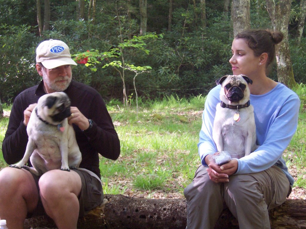
This time I chose to ride with Lisa and her two pugs since my car stunk of pee (I probably need to get this bladder problem under better control ;) ). After a few miles on the road I realized that I had left my food bag in my refrigerator at home. Lisa was kind enough to stop at a supermarket in Charlestown so I could quickly restock. Special thanks to the nice manager of the Food Lion there who helped me out.

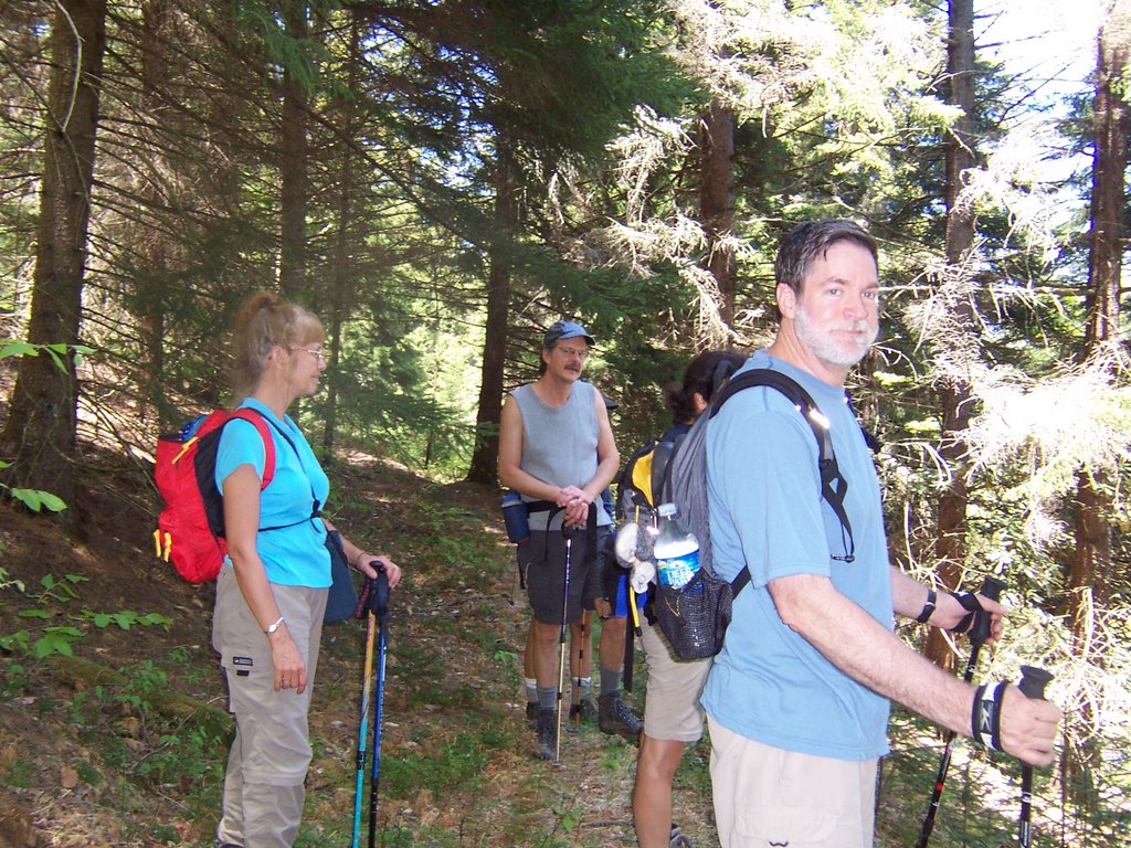
Slowly but surely we joined various other members of our group who were coming in from various points so that we all converged at the trailhead. We had Tuna, Keith, Lisa, Jada, Kisses, Justin, Judy, Terry, Ted and Mary. The trailhead is at 4000 ft so it still seemed like early spring up there, the leaves no fully developed yet. The campsite was going to be at a lower elevation than the trailhead so we descended into the forest along the Buck Run Trail.

At the bottom was the intersection of Buck Run, Locust Springs, Christian Run, Bearwallow Run, Laurel Forks, and a few others too numerous to mention. Needless to say we had to do a lot of deep stream crossing in some not-so-warm water.
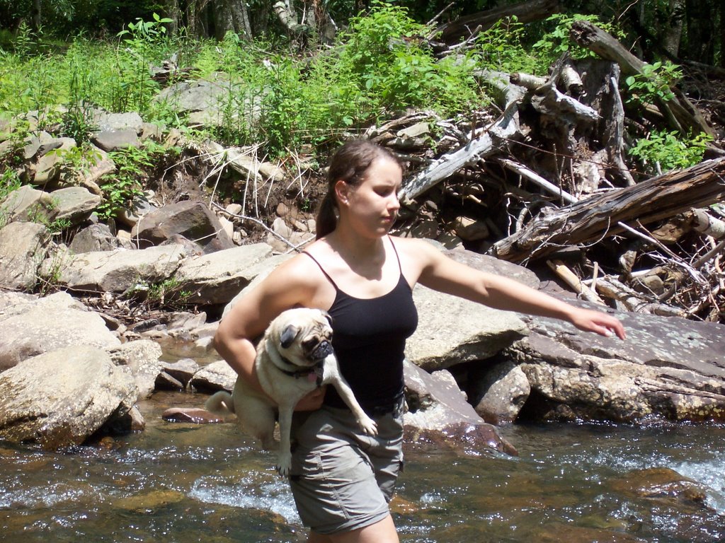
Lisa had to carry Kisses and Jada across the water since the water was too high for them.


The area is a labyrinth of trails, many of them not in very good shape. But if you are a seasoned hiker, don't mind a little bushwack, and can handle sparse trail markings you will have no problem here. We all had a great time in the forest for 3 days, hiking every day along the streams. The area is not flat but the rises are very gentle. Keith saw a snake but was okay after he had a chance to calm down.
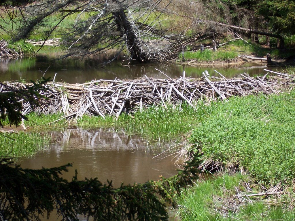
We saw some amazingly well-constructed beaver dams that would put those sloppy Maryland beavers to shame.

Tuna and Keith provided much of the entertainment on the trip and this same gang will turn up again at an Assateague trip planned for July, so keep posted. I hope the Mountain Club and the Sierrans had a great weekend as well.

Jim Thorpe(Mauch Chunk), Lehigh River Gorge, St. Clair, Pottsville, Minersville, Pennsylvanina

Jim Thorpe(Mauch Chunk), Lehigh River Gorge, St. Clair, Pottsville, Minersville, Pennsylvania

The weekend’s adventure is wrapped around two words, “Anthracite Coal”.  I’ve traveled to coal country  several times for one reason or another, usually in winter, and I have never taken enough time to devote to this wonderful area of Pennsylvania.  Basically, what happened was at the beginning of the 19th century somebody discovered the mother lode of a high-grade of coal, anthracite, in mountainous Eastern Pennsylvania and then next thing you know the place was overrun by the Irish, Italians, Slavs, Greeks and everyone else that wanted a job but didn’t have one to work in the dangerous but lucrative coal mining industry.  Fortunes were quickly made and much of the money was spent on building grand edifices out of heavy stone, since the miners knew how to reposition a stone or two.

However, all good things must come to an end, and in the 1950s the lode has pretty much run dry.  The rich and the poor and everyone in between fled the area, leaving several coal towns frozen in time.  Each town seemed to take a different path to enter the 21st century with varying results.

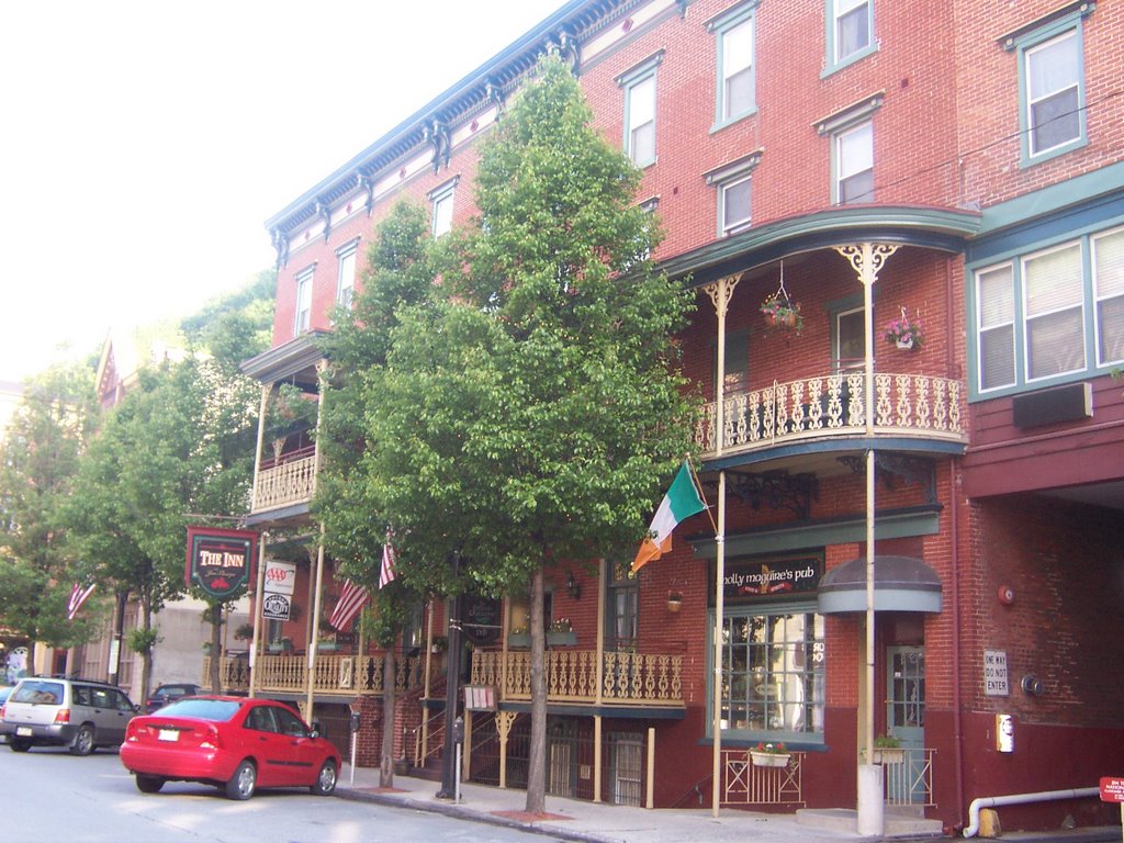
I have visited the wonderful town of Jim Thorpe a few times,
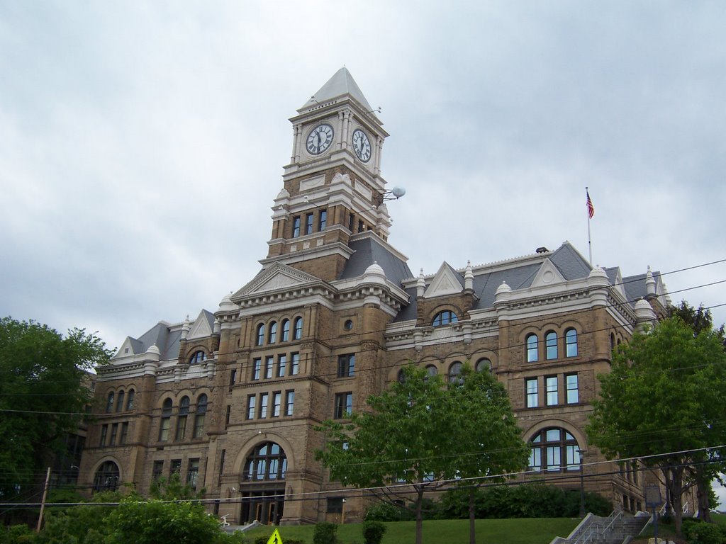
about 20 years ago my friend Denise and I stumbled upon this ramshackle place, which looked like it was going to fall apart from neglect.  We stayed at a flop house there for $10 which bought us a room with 15 beds.   A few years ago I had to return to there and looked into room rates at the same place which had turned into a very fancy B&B, they started at $105.00 per night.  By the way,  Jim Thorpe never set foot in Jim Thorpe, PA.  The town, originally named Mauch Chunk, managed to get their hands on his name after he died in order to boost its fortunes in the 1950s once the coal miners left, figuring it might attract someone’s attention.  The publicity stunt might have worked but that is not what draws the crowds now.

Jim Thorpe, PA pulled itself up by its boot straps for other reasons.  1)  The mountains around there are stupendous,
2) The yuppies in Philly were dying to blow their money on a nearby weekend retreat 3) The town has charm, not doubt about it.  The mining town was built on a steep hillside and funded primarily by Asa and Harry Packer, mine owners.  The place is adorable.  Now there are coffee bars and craft places galore, and I certainly can’t afford to sleep in its hotels anymore but I do like to visit.

The reason for my return this weekend was that somewhere in the last few years the State of Pennsylvania built a 26 mile bike trail in the Lehigh Gorge State Park.
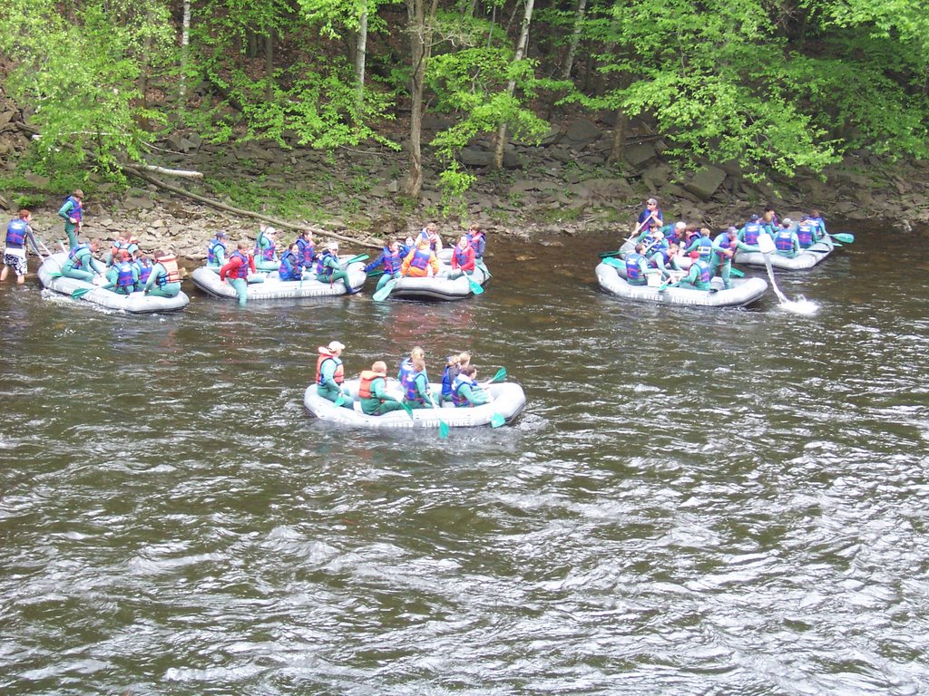
    I had read quite a bit about it and decided I had to try it.  Click here for the map of the area.  The biggest problem by far for this scenic state park is that there are so many great things to do there it is heartbreaking to have to pick only one.   I had my heart set on biking but when I parked my car at the southern Glen Onoko, the local chapter of the Appalachian Mountain Club was assembling for a hike and invited me to go along.  I had to decline.  When I started biking on the bike path I noticed the Lehigh Gorge River was running fast and I wondered where the rafters were.  I didn’t have to wonder for long, hundreds of rafters in the company of several outfitters were enjoying the river.   Unlike last year’s experience on the Yough, these outfitters seemed like they knew what they were doing and if they didn’t the Pennsylvania Department of Natural Resources seemed to be everywhere ensuring that nothing went wrong.  The Lehigh looked to me to have some Class II & III rapids,
nothing too treacherous.  

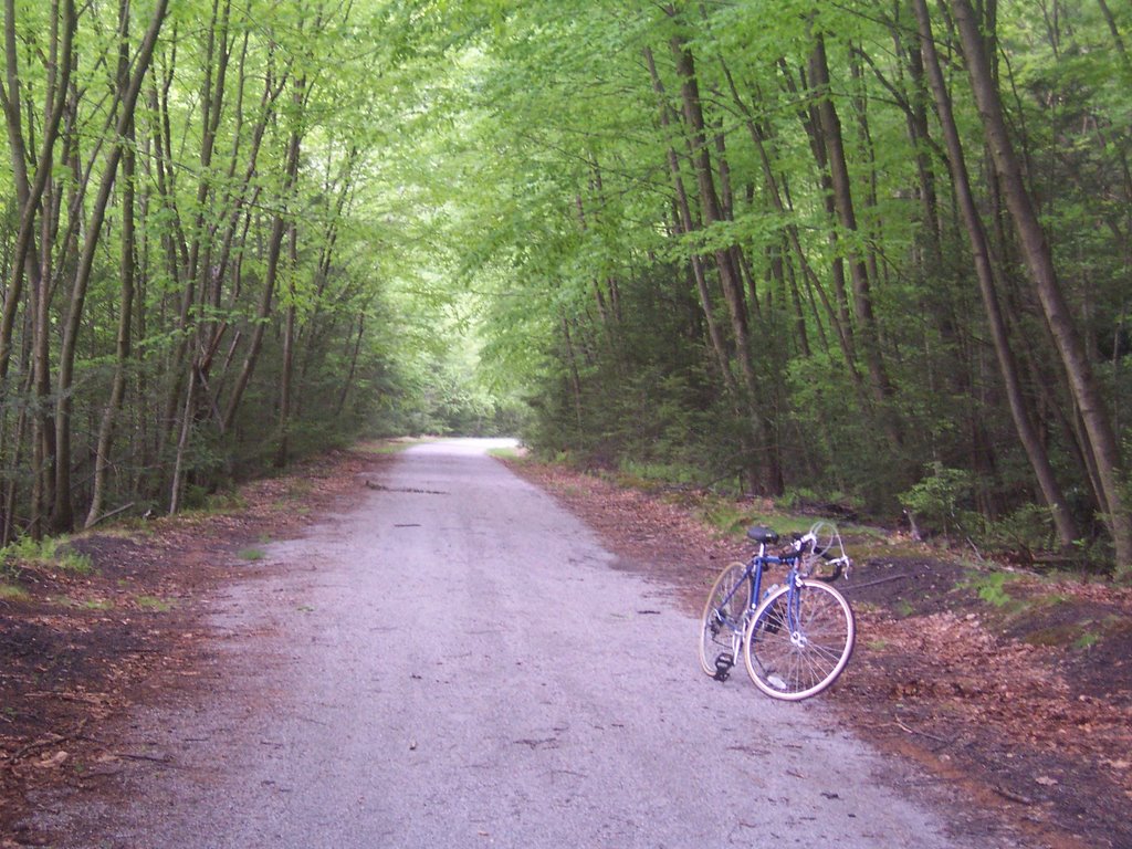
The bike trail was very enjoyable, it stretch from Glen Onoko up to White Haven.  There are very few places to park, I guess since the place is a gorge and there is little access.  This means that much of the trail is sparsely populated with hikers and cyclists, you have to be willing to bike 8-10 miles to get from one parking area to another.  Also, the surface is a sandy crushed stone, making it difficult to peddle.  I did an up and back total of 52 miles, stopping often to take pics.  However, the rafting outfitters are willing to rent you a bike and put you on the rafting bus so that you and your bike will only have to travel downhill.  I have some philosophical issues with this, but I guess going one way downhill is better than watching TV.  In my mind you should earn that downhill ride.

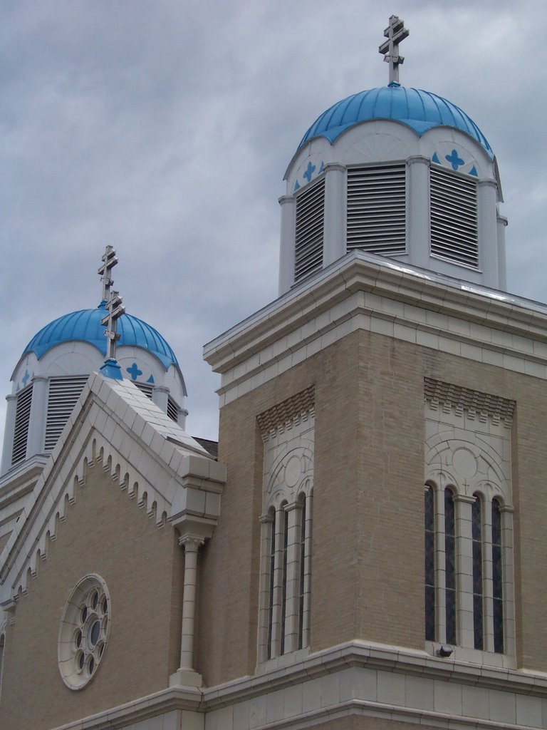
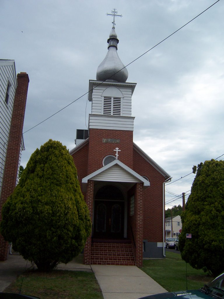
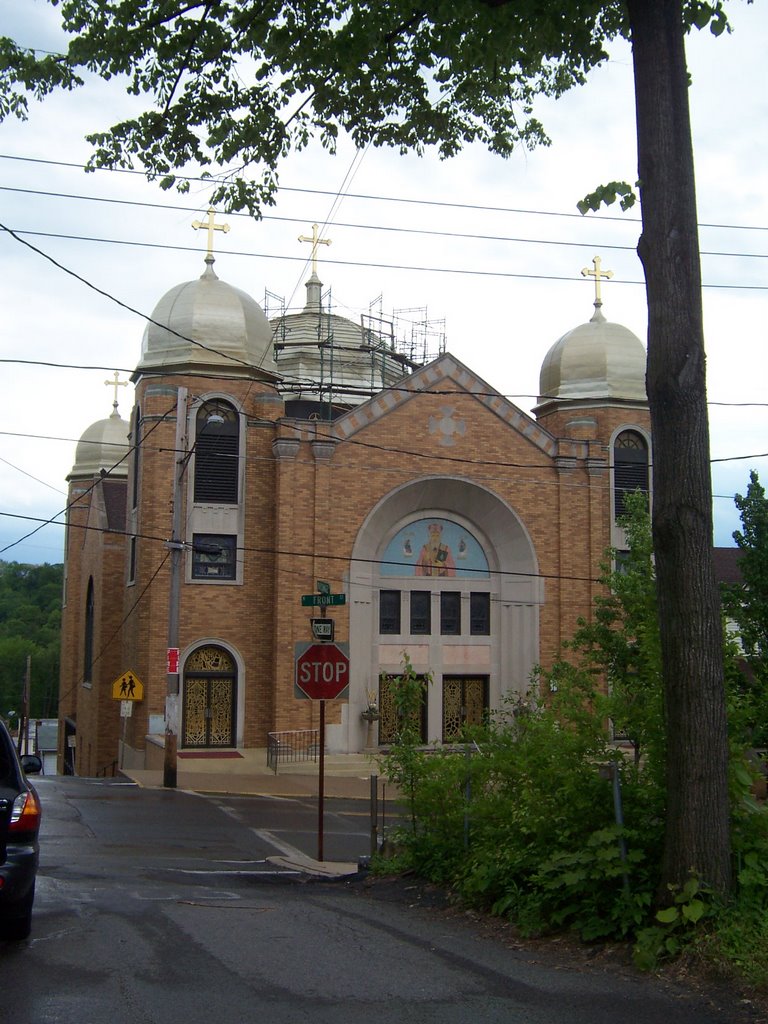
After I got done with the bike ride I headed east to enjoy Schuylkill County.  I’ve always liked it out there and never had a chance to really look at the area.  I spent the night on the street in St. Clair.  St. Clair has only about 3500 people but it has more than 15 churches by my count.   Obviously, this place was home to many Russian, Slavic and Ukranian people because I counted 4 churches with rounded domes.  I then got the idea that I had to take a picture of all the rounded domes
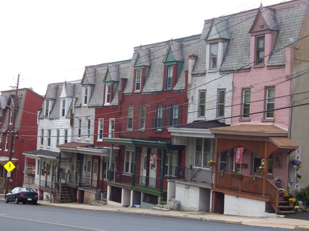
and onion domes in the area because they are so neat looking. There were the dome churches of St. Clair.  Minersville had rounded dome churches too.   St. Clair and Minersville seemed a little forlorn but I liked the wooden houses that still stood.  It also seemed like many


inhabitants were busy “supporting the troops” with flags and yellow ribbons.  I guess when the local economy sucks you have to join the military and fight senseless wars for a ruthless dictator in order to earn a buck, leaving your mom and dad home waving the American flag.    It was Sunday morning and I noticed many of the churches either had almost no congregation or weren’t open at all.

There were no rounded dome churches in Pottsville, I guess other types of immigrants settled there.  Pottsville’s economy also didn’t look too vibrant with the exception of Mahantongo Street where there is an abundance of beautifully maintained homes built probably in the late 1800s and early 1900s.  For all those of my friends and acquaintances who complain incessantly about the steep price of real estate, you could go to coal country,
PA and find an amazing house for almost nothing.


Here are the dome churches of Minersville.

Big Schloss, Virginia, Halfmoon Lookout, West Virginia

This was an Outdoors Club backpacking trip hosted by Lisa, check the Northeast Section.

After returning from my vacation I was just dying to hit the trail again. I decided to change up my strategy a bit and explore new horizons. Since I have all this neat backpacking gear now I figured I would put it to the test locally with a weekend backpacking excursion. This hike was advertised as a 20 miler with about 2000 feet of elevation. We started at Wolf Gap in the George Washington National Forest where Lisa, Bristol, Heather and I gathered at 10AM Saturday. We were to do an initial ascent to reach the lookout over at Big Schloss and then head north on the Mill Mountain Trail to camp at Halfmoon Lookout.


I've been to Big Schloss before and it is definitely one of the most beautiful vistas on the VA, WV border, I highly recommend it for those that don't want massive elevation changes yet crave pleasant scenery. BTW, that is Lisa enjoying the Big Schloss overlook. Lisa and I got off to a strong start, where Heather had some technical issues that were quickly rectified.
Since Lisa and I had reached the Halfmoon lookout first we snagged the limited campsite availability at the top, where Bristol and Heather had to make do at the lower site.
We had a nice campfire and I watched Lisa cook expertly on her campstove. Although the day was a bit cloudy the sunset was still very impressive.

We returned southward on the Little Stoney Creek Trail. Once we were at the bottom I decided I would change up plans a bit and practice my bushwacking skills on Poplar Run, Heather reluctantly agreed to go with me while Lisa and Bristol scurried back on the Big Schloss Cutoff Trail. Heather proved to be an excellent bushwacker and beat me up the stream run. That girl has serious hiking potential.


Once we got back the car it started to rain so we were very glad we had an early start.Lisa did an excellent job planning this trip and coordinating things with all involved. She was also quite pleasant about my insistence on bushwacking. Thanks Lisa!!


I really need to quit using Wal-Mart as my fashion consultant.