Pignut Mountain is a free-standing mountain on the eastern side of the Shenandoahs. There are no trails to its summit though it can be seen from many areas of the park. I have been looking at this beautiful mountain for years and had always wondered what it would be like to climb it. Saturday I mapped out the shortest way to its top off of the Hull School Trail and set out to find out what was up there. You could see the entire ridgeline of the Shenandoah ridge from the top of Pignut. The bushwhack was steep but a great deal of fun.
Sunday I had agreed to meet Binli who I had met a few weeks ago over at Overall Run for a hike on Old Rag. Binli clearly has more friends than anyone else, as she amassed a fairly large group of hikers with whom she works, long time friends and people to whom she easily endears herself after quick meetings on mountains. The lady is obviously very popular.
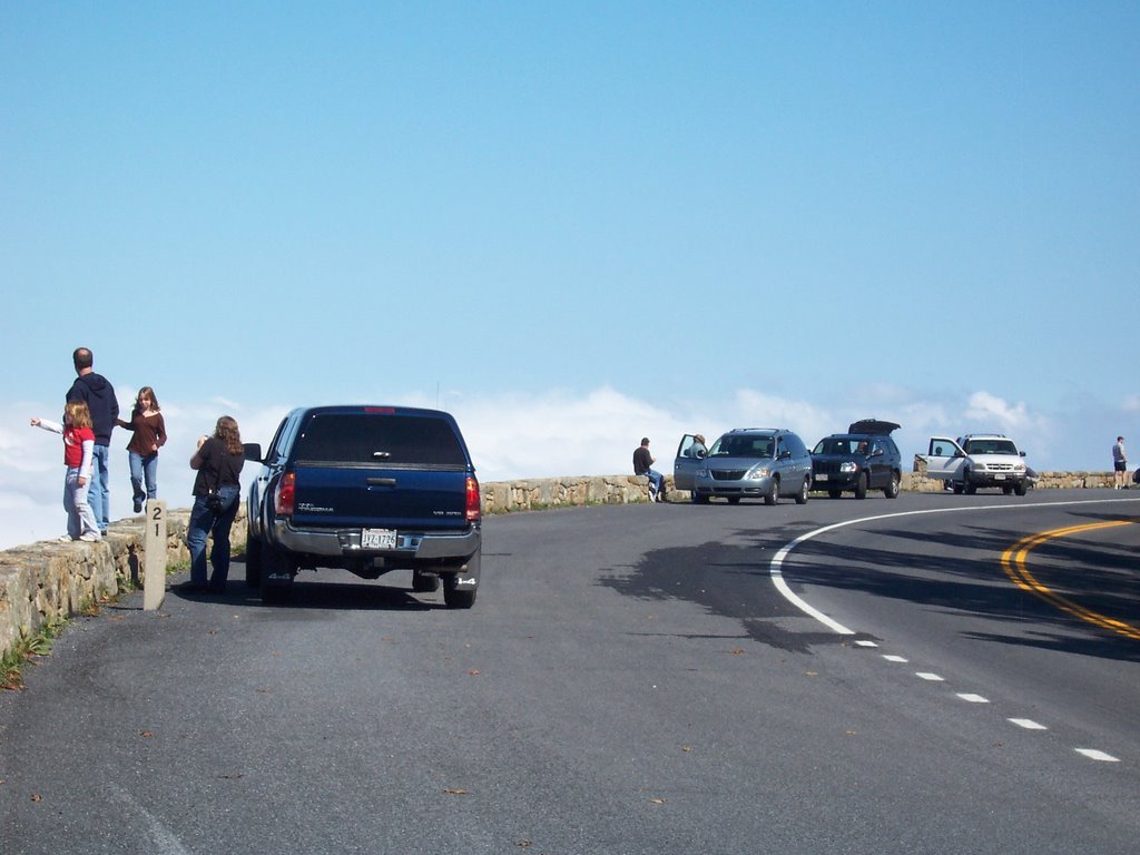
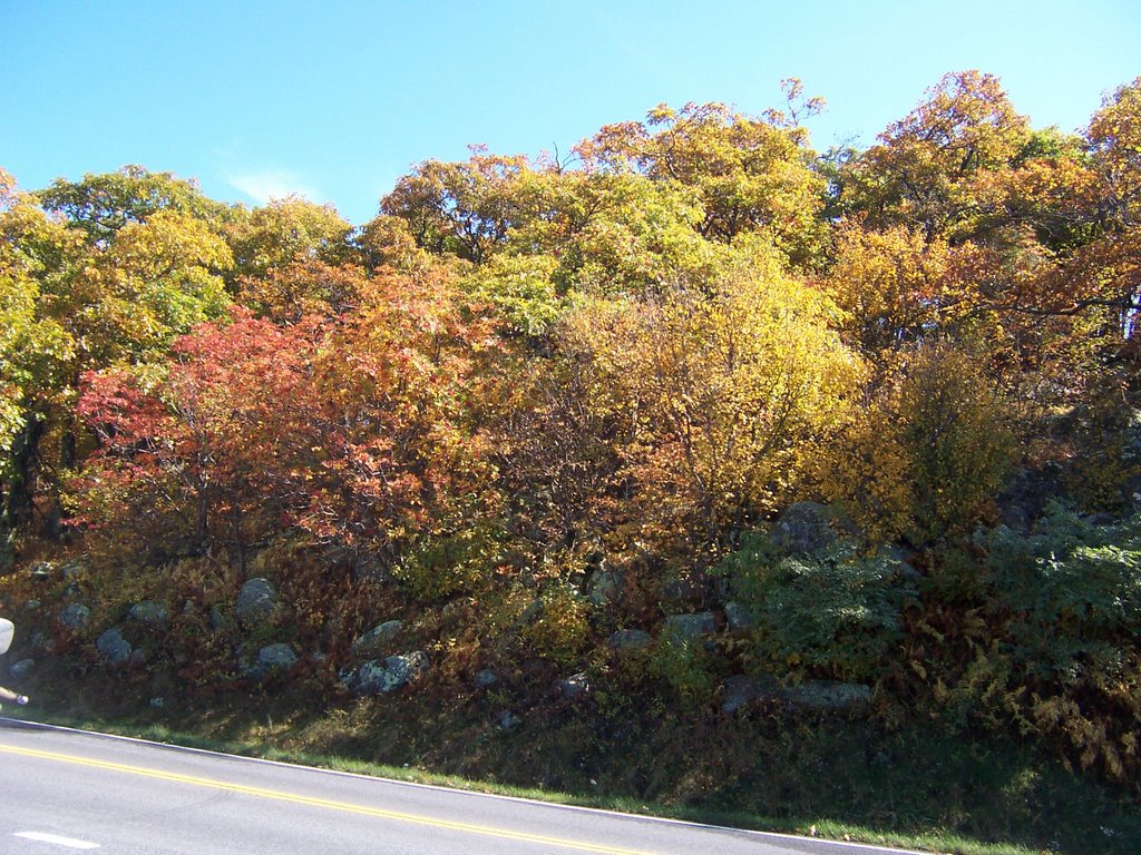
The day weatherwise was spectacular, not a cloud in the sky and the Shenandoahs were awash in beautiful fall colors. It had been many years since I climbed Old Rag, and I had a great deal of fun with the rock scramble at the top. A word of warning for those who go, the Park Service does charge an entry fee at the parking area, however, your National Parks Pass will get you in for free if you have one. The view is a wonderful 360 degree offering: You can see the Shenandoahs to the West, Doubletop Mountain to the South, Deal and Dulaney Mountain to the Southeast. One of the Binli's coworkers, Jim, was the speediest hiker but we all very impressed with a couple who claimed to do no exercise at all but were able to handle the hike valiantly. Although this hike only entails 7-8 miles it can be pretty strenuous due to the 2500 ft. elevation change. Here is our group picture near the top.
After we finished our hike, Binli and Michael invited everyone over to their beautiful home for a wonderful delicious dinner and post-hike party. I hope Binli invites me on a few more hikes.
I decided that I wanted to get some distance so came up with a plan. I drove to the 'Tuscarora meets the Massanuttens' trailhead off of Route 613 and spent Saturday night there. Then I woke up at the crack of dawn and hit the mountain. The Massanutten trail is nice because it is about 71 miles in length, which means that you can go as far as you want as long as you are doing an up and back. You get some lovely views of both the Shenandoah Mountains and the squigly Shenandoah River. This was the first pic of the day taken at Tuscarora/Massanutten intersection of the Shenandoah Valley.
The Massanutten Trail can be difficult and I will explain why. The Massanuttens are two ridges that are parallel to the west side of the Shenandoah Mountains. But they are different than the Shenadoah. Imagine if someone folded a graham cracker up like an accordian. The trail lies directly on top of the jagged ridge caused by the folding. Needless to say, at times this is not a smooth mountain path. Jagged rocks impaling the trail surface abound. You can't see the steepness unless you are at the top of the ridge looking down. This means that one cannot make record time on this trail. I gained a new found respect for those who participate in the The Massanutten 100 Mile Race. There are good reasons why those finishers have blood all over themselves. I can't imagine somebody being able to perform 100 miles of this misery in just 17 hours and 40 minutes, I am amazed at the success of the participants.
Everyone in Baltimore was running a marathon this weekend, I figured I'd do a marathon too, but I'd do mine on the moutain. I spent every daylight minute that I could muster going from Veech Gap all the way to Stephens Trail intersection. I had to wave the white flag of defeat 1 mile away from Kennedy Peak as my turn around/lunch time time was 12:30PM. This gave me 28 miles and probably 4000 feet of elevation change.
Here is my video offering of the day, I do some sexy clothing modeling for you.
I wanted to hike this weekend, the weather called for rain Saturday morning with a partly cloudy day afterward, at least in Baltimore. I figured I would take my chances and head out Friday evening to Shenandoah NP and wait for the rain to stop on Saturday morning. The plan would have been a good one if the rain had actually stopped, it didn't. It rained all day. I was stuck in Front Royal, VA all day with nothing to do. Fortunately, The Royal Oak Bookshop had a good selection of books and I managed to hole up in a coffee shop reading Cather's, O Pioneers.
I drove all around Front Royal that day trying to amuse myself, I found a place where somebody had set up a very odd unofficial roadside sanctuary for black vultures and feral cats. There were little shelters and lots of cat food cans, some rather mangy cats and many full size vultures hanging out. Very neat. If you are interested in seeing this little phenomenon, email me and I will give you directions. You can get very close to the vultures as they seem as friendly as a vulture can get.
Saturday evening I parked my car on Manassas Street in Front Royal. Wouldn't you know, the local drug dealer must have lived there because people were stopping by all night running into a nearby house. The locals must be extremely tolerant because I wouldn't have put up with that noise for more than 30 seconds. Needless to say, I didn't have a restful night.
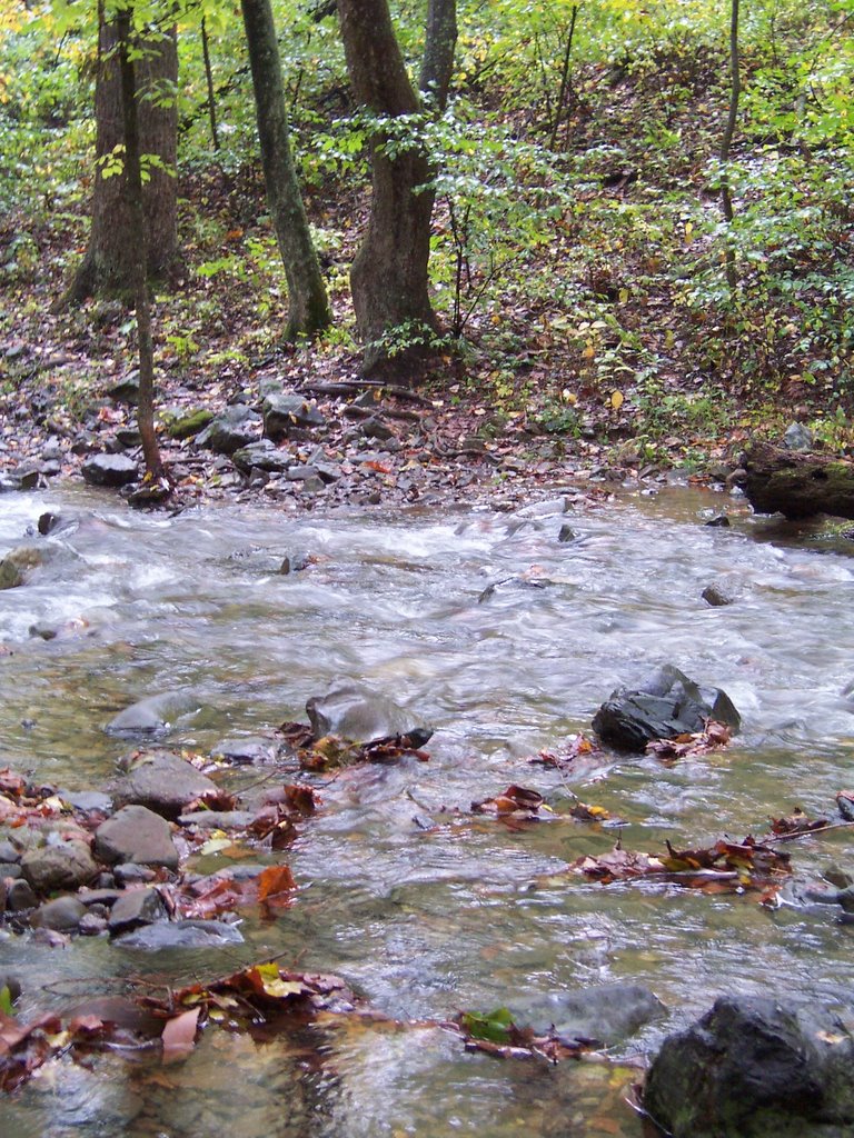
Sunday I finally got to do my hike. I try not to write about the weather but the weather was very interesting. I arrived at the trailhead off of Thompson Hollow road, the sky was clear and beautiful, perfect day for a hike. 20 minutes into my climb it started to turn misty. After an hour I could barely see 20 feet in front of me and it started to rain. Overall Run was at capacity and I had 2 stream crossing during my ascent. The first one I took off my shoes, the water was icy cold so I was determined not to have to do that again. The second crossing was dicey but I made it. Socks stayed dry.
I got the the waterfalls and couldn't see a thing. Here is a picture of the larger falls, I was about 40 feet away and this is the best picture I could get.
Here is my video entry for the day about the weather:
I continued my ascent and ran into 2 enthusiastic hikers, Benli and Michael. They were inquisitive and asked me about my route. I showed them on the map where I had planned to go and warned them about the stream crossings. I figured that they would get to the run, turn around and come back.
I continued on my way and reached the top of Hogback Mountain where the sun was shining again, I ate lunch at the overlook with all the cars and motorcycles.
Motor cycle groups are pretty common and pretty noisy up here. It makes it loud and unpleasant. The leaves are just starting to turn at the top of the moutain.
As I looked over the overlook I could see the cloud layer that was causing the foggy conditions on the trail, it just was hanging there at about 2500 feet. Luckily, when I started my descent it dissipated.
I was able to quickly descend on the Heiskell Hollow Trail. When I hit the intersection at Beecher Ridge Trail I met up with Binli and Michael again. Binli and Michael had succeeded in taking off their shoes at the 3 stream crossings and were headed back up the mountain to their car. I guess I underestimated those two.
I must have hiked about 14 miles with 3200 feet of elevation change. I could have easily handled another 1000 feet but the mountains are only so high and there was no way to get more mileage out of the area.
 The bushwhack was steep but a great deal of fun.
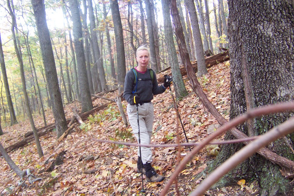

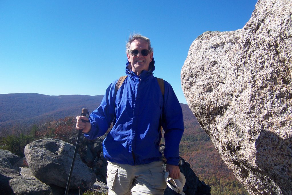 was the speediest hiker but we all very impressed with a couple who claimed to do no exercise at all but were able to handle the hike valiantly. Although this hike only entails 7-8 miles it can be pretty strenuous due to the 2500 ft. elevation change. Here is our group picture near the top.