Jim Thorpe(Mauch Chunk), Lehigh River Gorge, St. Clair, Pottsville, Minersville, Pennsylvania
The weekend’s adventure is wrapped around two words, “Anthracite Coal”. I’ve traveled to
coal country several
times for one reason or another, usually in winter, and I have never taken enough time to devote to this wonderful area of Pennsylvania. Basically, what happened was at the beginning of the 19th century somebody discovered the mother lode of a high-grade of coal, anthracite, in mountainous Eastern Pennsylvania and then next thing you know the place was overrun by the Irish, Italians, Slavs, Greeks and everyone else that wanted a job but didn’t have one to work in the dangerous but lucrative coal mining industry. Fortunes were quickly made and much of the money was spent on building grand edifices out of heavy stone, since the miners knew how to reposition a stone or two.
However, all good things must come to an end, and in the 1950s the lode has pretty much run dry. The rich and the poor and everyone in between fled the area, leaving several coal towns frozen in time. Each town seemed to take a different path to enter the 21st century with varying results.
I have visited the wonderful town of Jim Thorpe a few times,
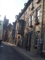
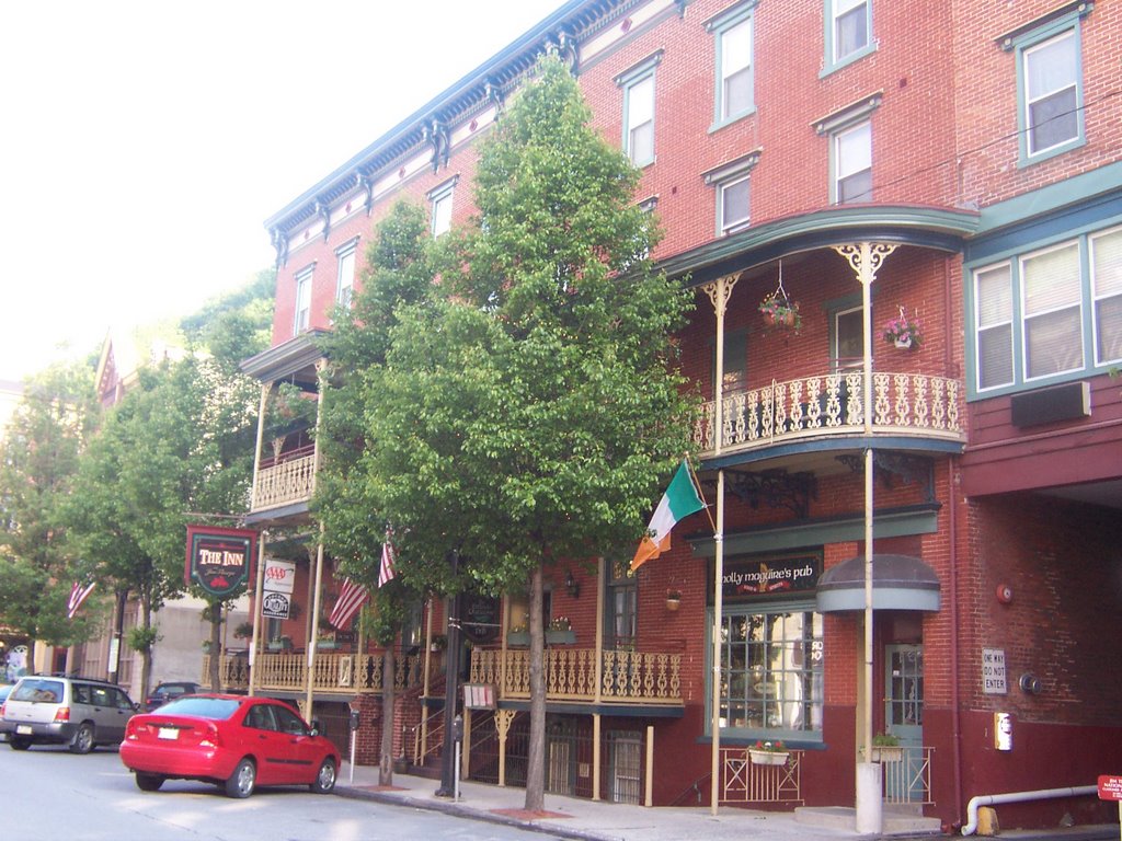
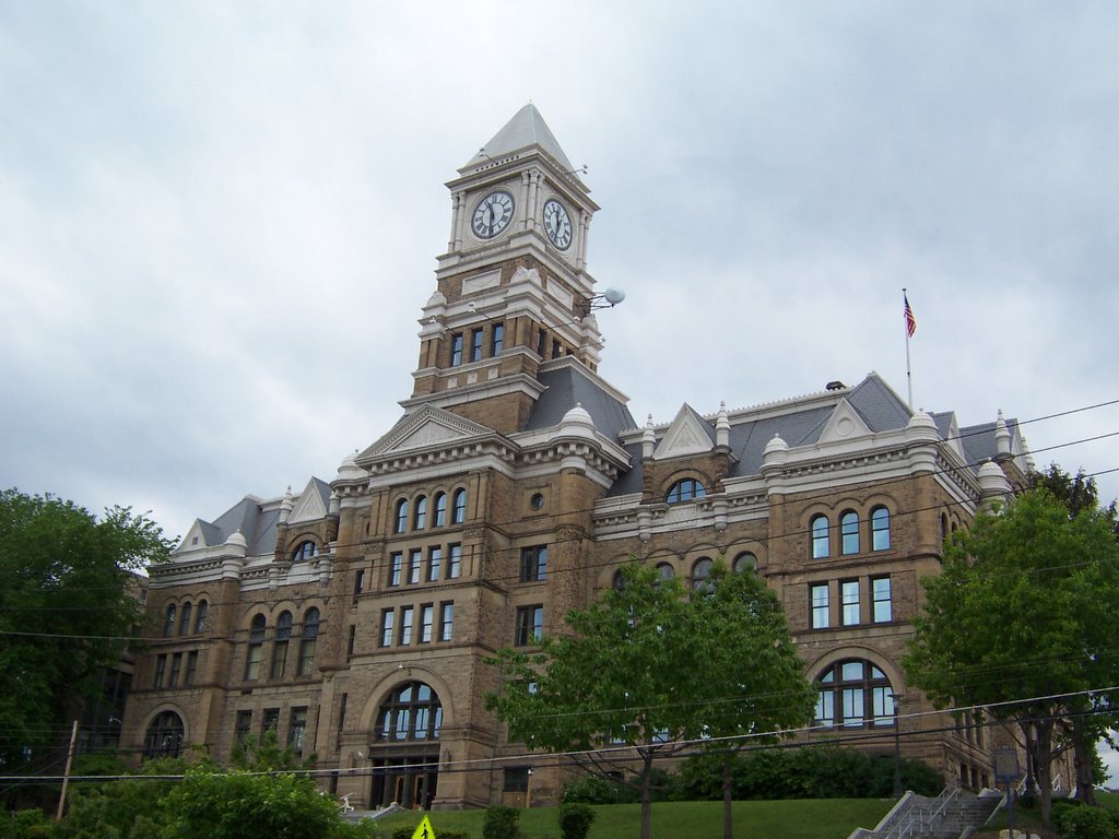
about 20 years ago my friend Denise and I stumbled upon this ramshackle place, which looked like it was going to fall apart from neglect. We stayed at a flop house there for $10 which bought us a room with 15 beds. A few years ago I had to return to there and looked into room rates at the same place which had turned into a very fancy B&B, they started at $105.00 per night. By the way, Jim Thorpe never set foot in Jim Thorpe, PA. The town, originally named Mauch Chunk, managed to get their hands on his name after he died in order to boost its fortunes in the 1950s once the coal miners left, figuring it might attract someone’s attention. The publicity stunt might have worked but that is not what draws the crowds now.
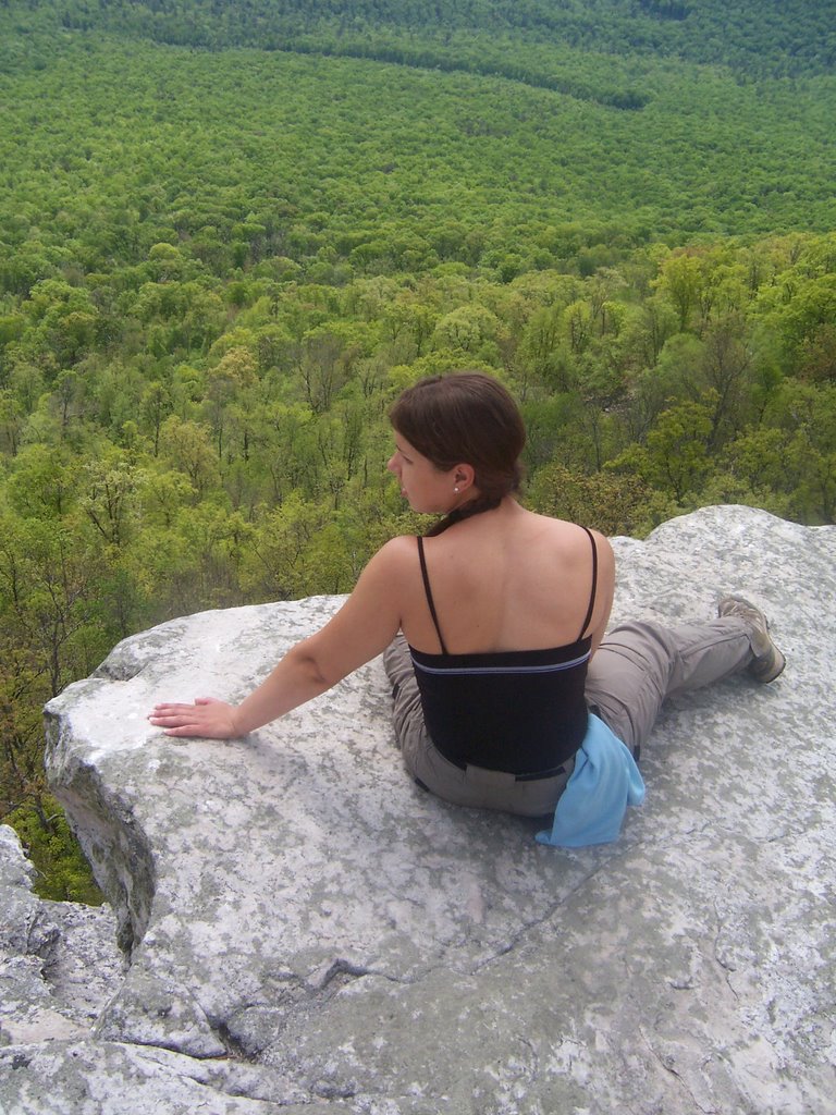
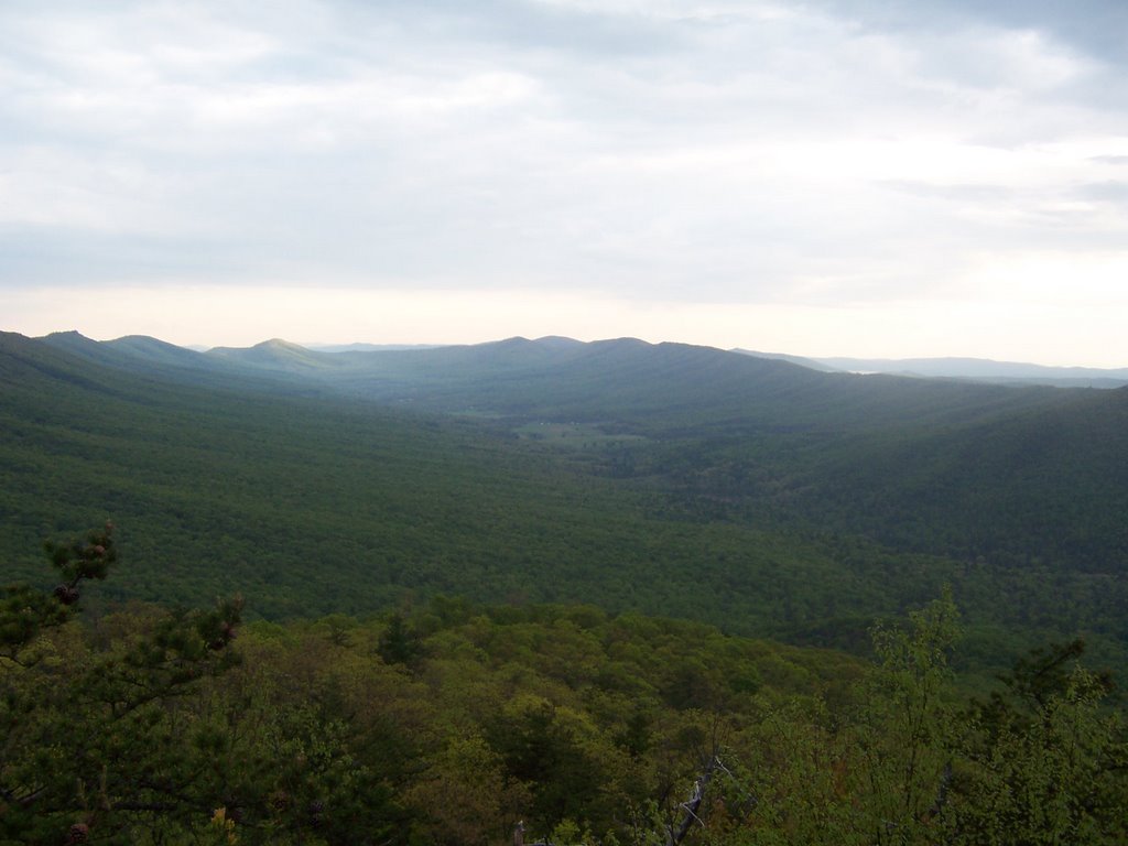
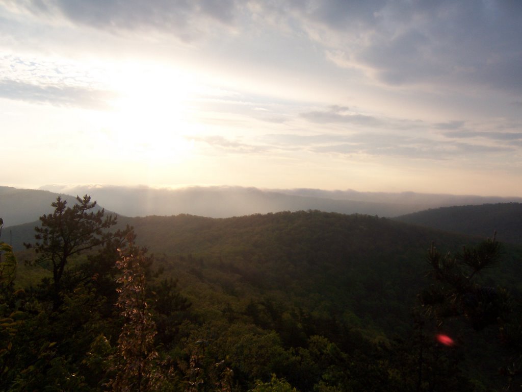
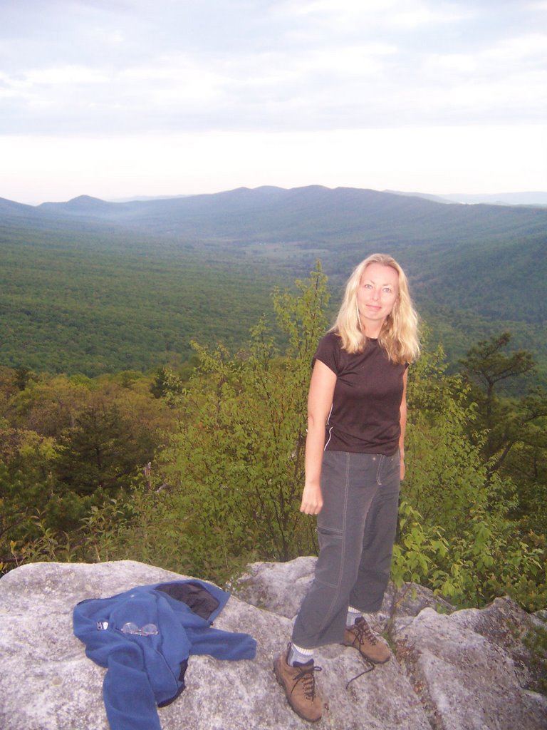
Jim Thorpe, PA pulled itself up by its boot straps for other reasons. 1) The mountains around there are stupendous,
2) The yuppies in Philly were dying to blow their money on a nearby weekend retreat
3) The town has charm, not doubt about it. The mining town was built on a steep hillside and funded primarily by Asa and Harry Packer, mine owners. The place is adorable. Now there are coffee bars and craft places galore, and I certainly can’t afford to sleep in its hotels anymore but I do like to visit.
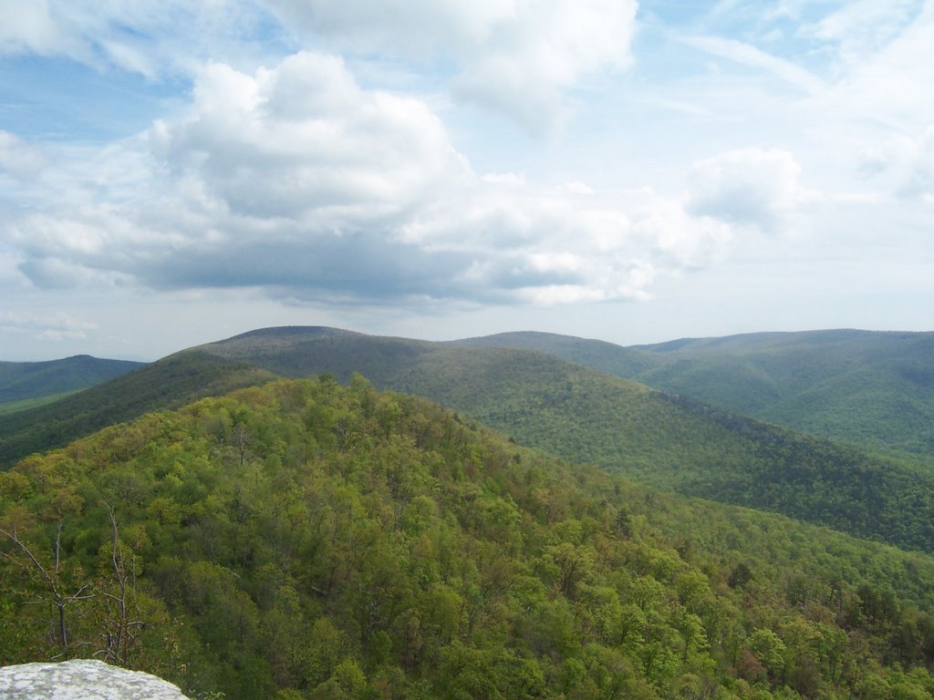
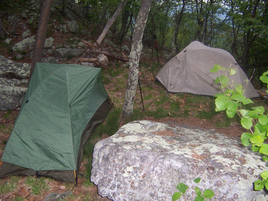
The reason for my return this weekend was that somewhere in the last few years the State of Pennsylvania built a 26 mile bike trail in the
Lehigh Gorge State Park. I had read quite a bit about it and decided I had to try it. Click
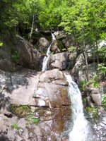
here for the map of the area. The biggest problem by far for this scenic state park is that there are so many great things to do there it is heartbreaking to have to pick only one. I had my heart set on biking but when I parked my car at the southern Glen Onoko, the local chapter of the
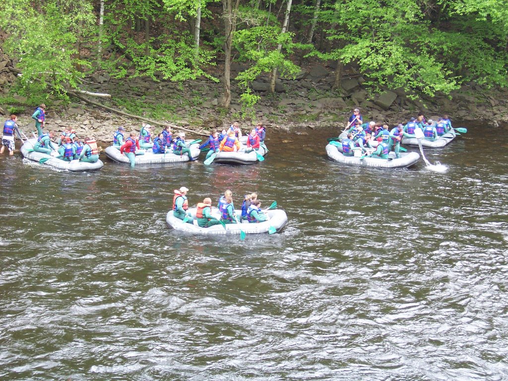
Appalachian Mountain Club was assembling for a hike and invited me to go along. I had to decline. When I started biking on the bike path I noticed the Lehigh Gorge River was running fast and I wondered where the rafters were. I didn’t have to wonder for long, hundreds of rafters in the company of several outfitters were enjoying the river. Unlike
last year’s experience on the Yough,

these outfitters seemed like they knew what they were doing and if they didn’t the Pennsylvania Department of Natural Resources seemed to be everywhere ensuring that nothing went wrong. The Lehigh looked to me to have some Class II & III rapids,
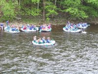
nothing too treacherous.
The bike trail was very enjoyable, it stretch from Glen Onoko up to White Haven. There are very few places to park, I guess since the place is a gorge and there is little access. This means that much of the trail is sparsely populated with hikers and cyclists,
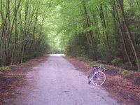
you have to be willing to bike 8-10 miles to get from one parking area to another. Also, the surface is a sandy crushed stone, making it difficult to peddle. I did an up and back total of 52 miles, stopping often to take pics.

However, the rafting outfitters are willing to rent you a bike
and put you on the rafting bus so that you and your bike will only have to travel downhill. I have some philosophical issues with this, but I guess going one way downhill is better than watching TV. In my mind you should earn that downhill ride.
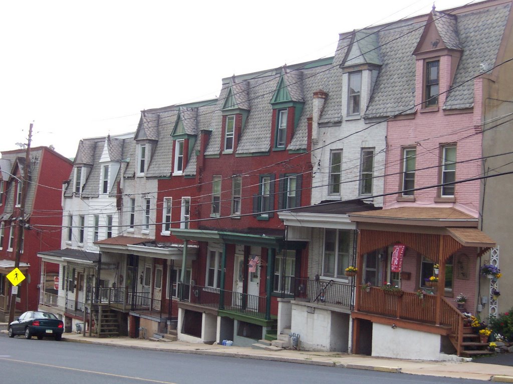
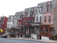
After I got done with the bike ride I headed east to enjoy Schuylkill County. I’ve always liked it out there and never had a chance to really look at the area. I spent the night on the street in
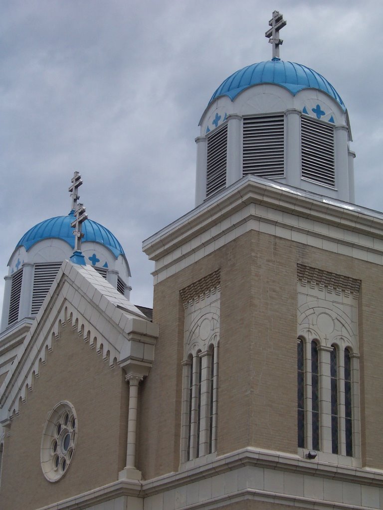
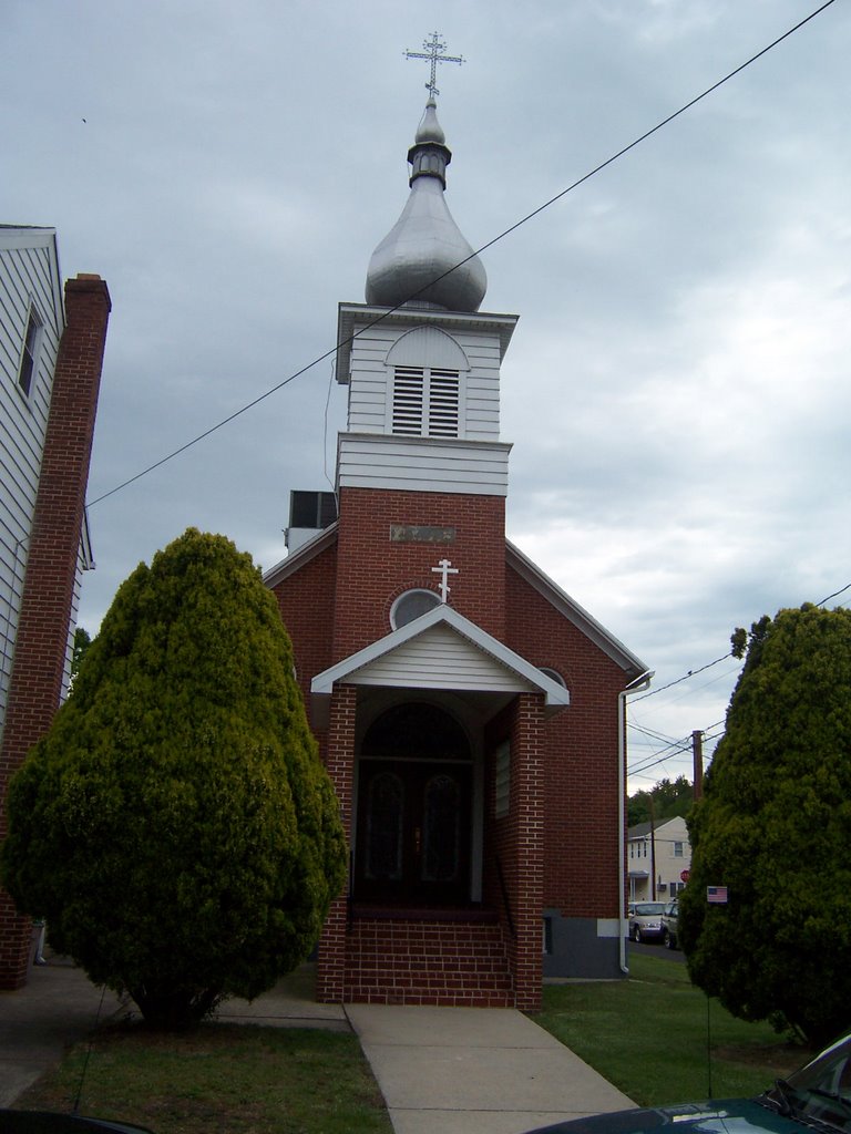
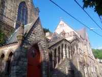
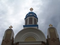
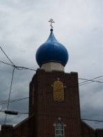
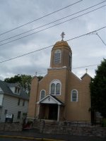
St. Clair. St. Clair has only about 3500 people but it has more than 15 churches by my count. Obviously, this place was home to many Russian, Slavic and Ukranian people because I counted 4 churches with rounded domes. I then got the idea that I had to take a picture of all the rounded domes
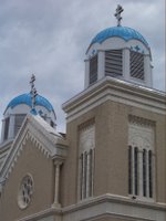
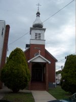
and onion domes in the area because they are so neat looking. There were the dome churches of St. Clair. Minersville had rounded dome churches too. St. Clair and Minersville seemed a little forlorn but I liked the wooden houses that still stood. It also seemed like many

inhabitants were busy “supporting the troops” with flags and yellow ribbons. I guess when the local economy sucks you have to join the military and fight senseless wars for a ruthless dictator in order to earn a buck, leaving your mom and dad home waving the American flag. It was Sunday morning and I noticed many of the churches either had almost no congregation or weren’t open at all.
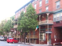
There were no rounded dome churches in Pottsville,
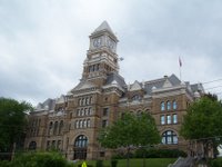
I guess other types of immigrants settled there. Pottsville’s economy also didn’t look too vibrant with the exception of Mahantongo Street where there is an abundance of beautifully maintained homes built probably in the late 1800s and early 1900s. For all those of my friends and acquaintances who complain incessantly about the steep price of real estate, you could go to coal country,
PA and find an amazing house for almost nothing.
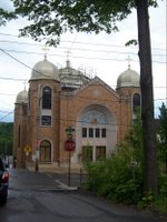
Here are the dome churches of Minersville.
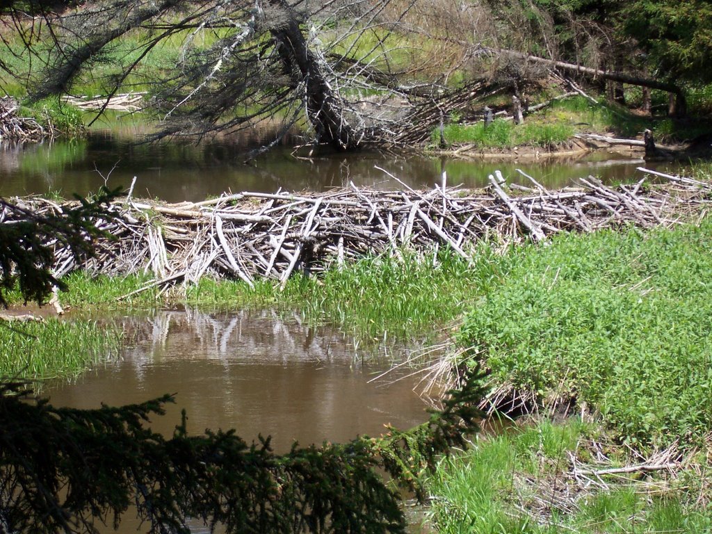
 if you are looking for beautiful vistas, rocky outcroppings, and scenic sunsets, this place isn't for you. If you are looking for a set of creeks, rivers, runs and streams that resemble a multi-highway interchange, look no further. You'll need your water shoes.