Zion National Park 2006, Kolob Canyon, Del Taco, Utah

I had met a man from Kentucky at Bryce who suggested I should overnight backpack in the Kolob Canyon section of Zion since it is less populated than other areas of the park.  Along the way to get there I took route 14 in Utah.  The sign at the beginning of the road said that in winter one must have chains or snow tires on their car before entering.  Although my rental car was not winterized in such a manner I ventured forward anyway.  The road was absolutely spectacular in winter, I saw lots of mountains, snowmobilers and pretty views. Yes, the driving was more than a little treacherous.

Along the way I stopped off at Del Taco in Cedar City, UT.  
This joint has managed to marry the worst aspects of American and Mexican fast food.  Although the fish taco was excellent and served with a tiny lime slice, the combo burrito was pathetic.  I don’t know why they felt obligated to serve french fries with almost every order, French fries seem to be a staple food in Utah.  I have never eaten so many French fries in my life.  The service was dismally slow, I actually had other customers in line help complain about the slow service for my order.   Although my food was prepared and ready, the high school student behind the counter couldn’t grasp the concept of moving the food from the prep area to the customer.  The little sauce packs were better than Taco Bell, I brought some home, very tasty.

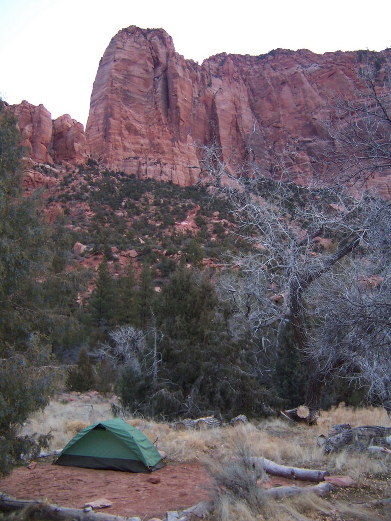
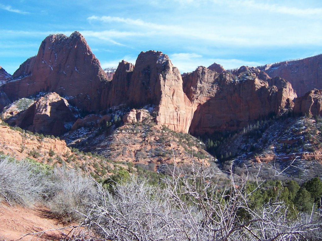
I found the Kolob Canyon area of Zion right off of Interstate 15.  I asked for a back country permit and the rangers were somewhat amused that somebody actually wanted to backpack in 60 degree F weather.  I guess it was too nippy for these folks in the west but just fine for an east-coaster.  The rangers told me I had the entire area to myself.

I only was planning to backpack 2 miles to the nearest back country site.  Along the way I met two people from Utah who were fly fishing outfitters.  They said to me, “Watch out for the cat!”

I replied, “What cat?”

They said, “You know, the cougars.  Their paw prints are all over the place.”

I jumped about 3 feet in the air.  I have some familiarity with bears but not cats.  I did not want to be a kitty smorgasbord that evening.  The two hikers did their best to calm me down.   They told me that only the cougars in California eat people, not the ones in Utah.  How did they know that the California cougars weren’t visiting their cousins in Utah?  Afterall, it is so close to the holidays.   Luckily, my evening was cougar-free.

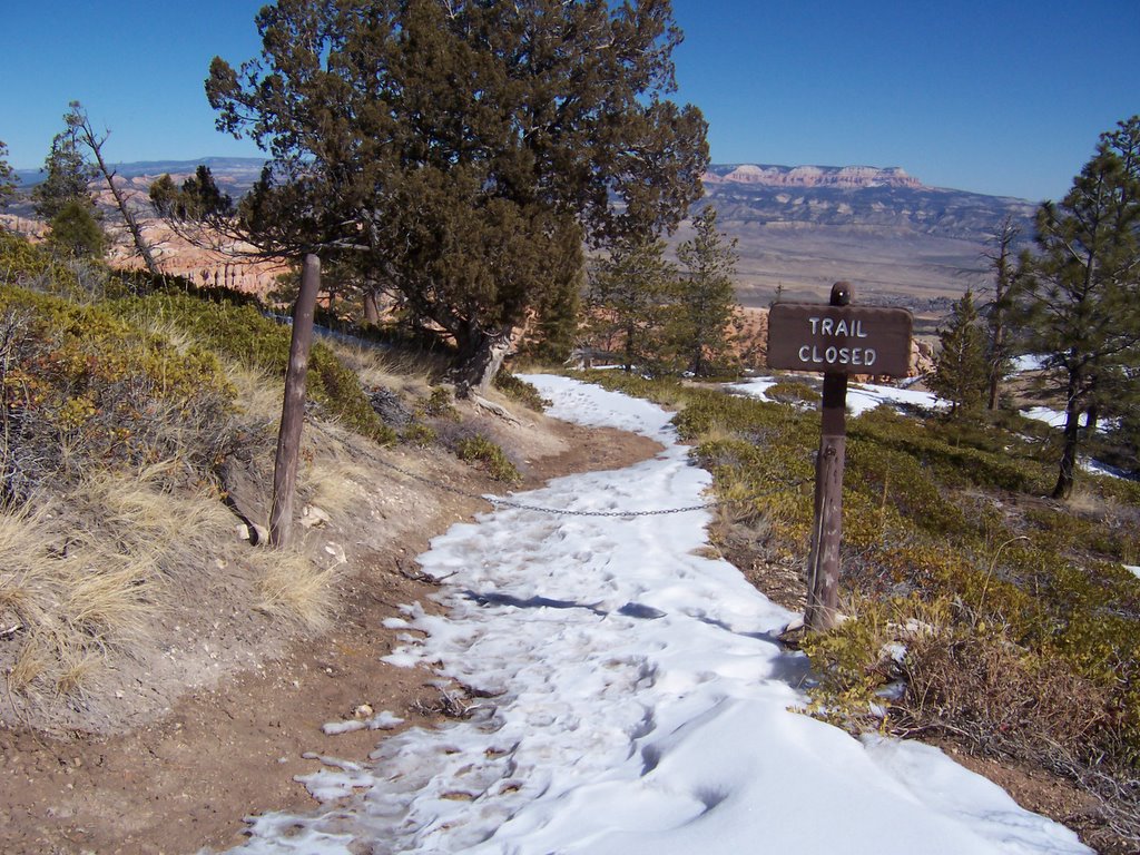
I had desperately wanted to hike Angel’s Landing the next day, however, my feet were pretty beat up.   This was the second time in my life I was not able to hike this trail.  I guess it will just have to wait for another time.

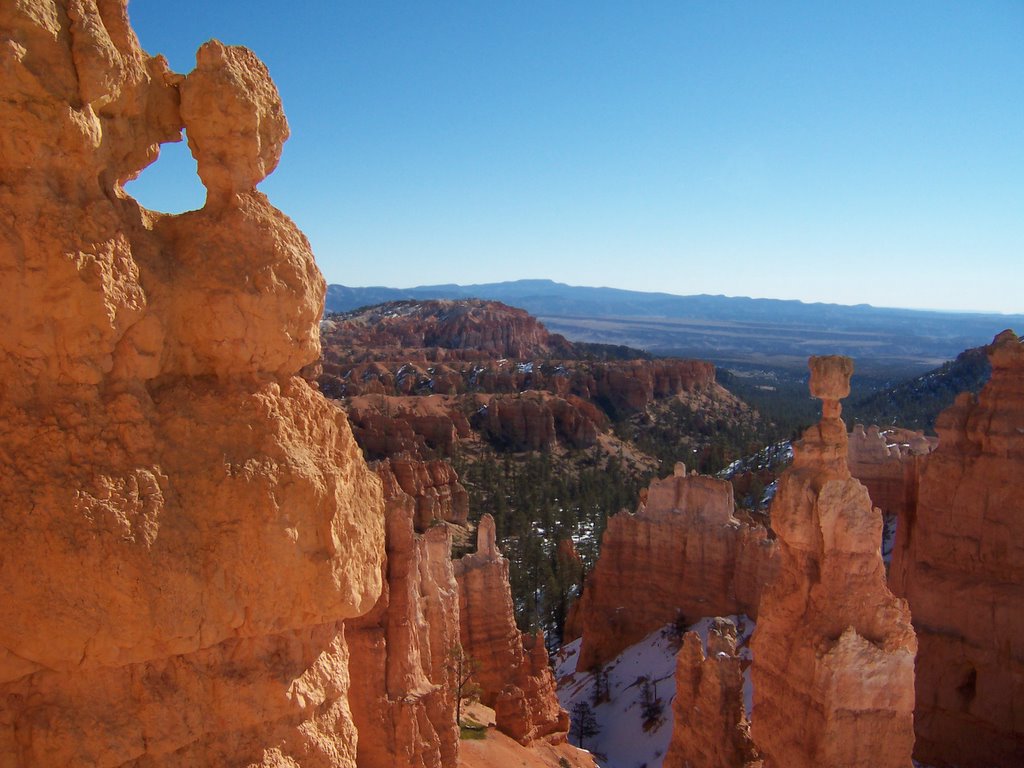
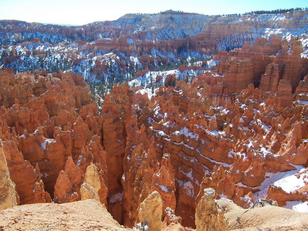
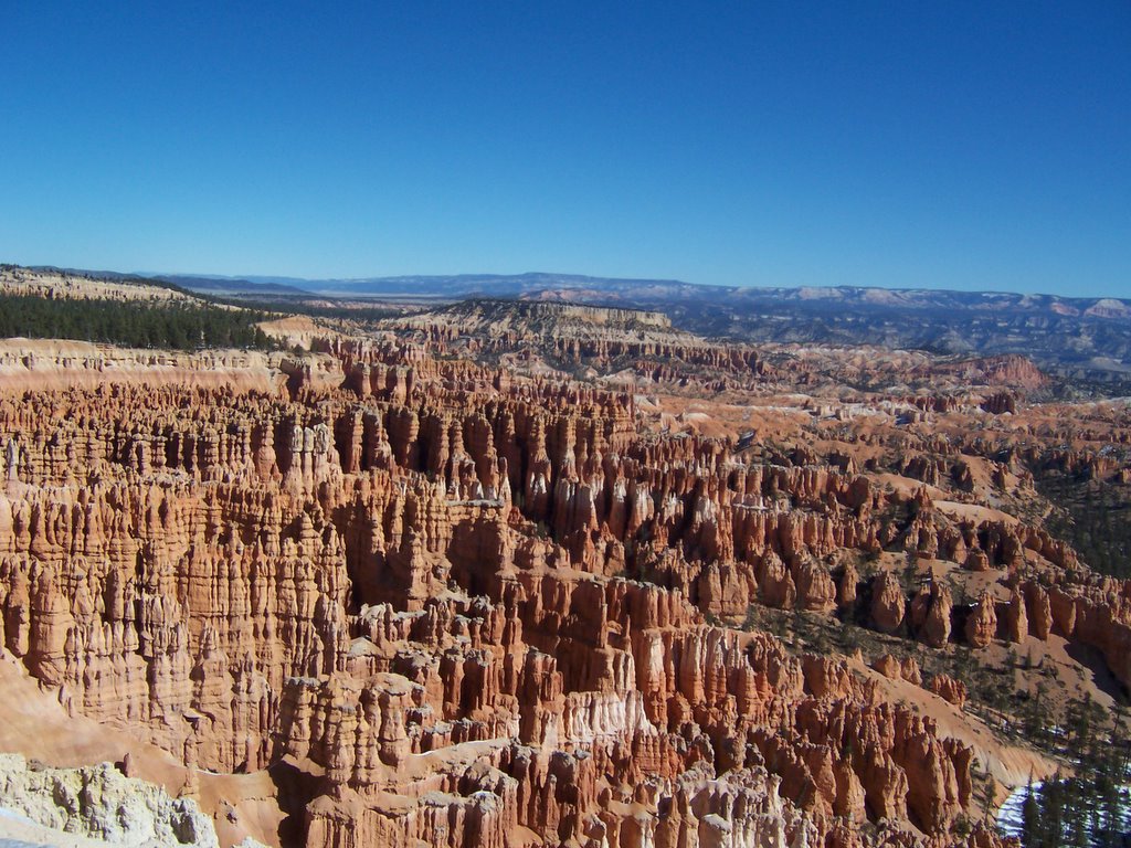
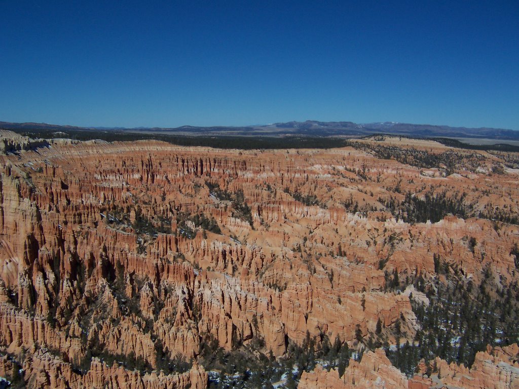
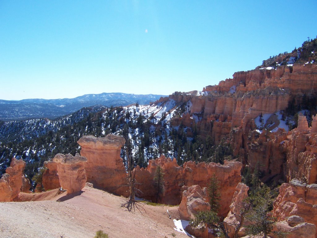
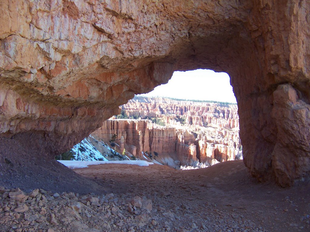
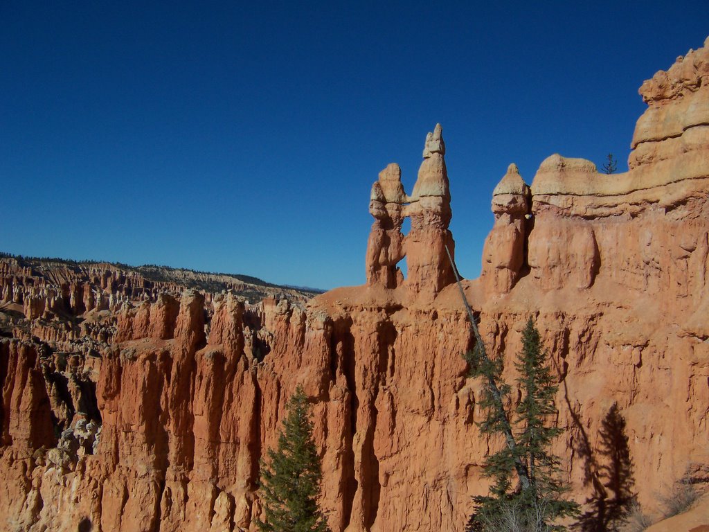
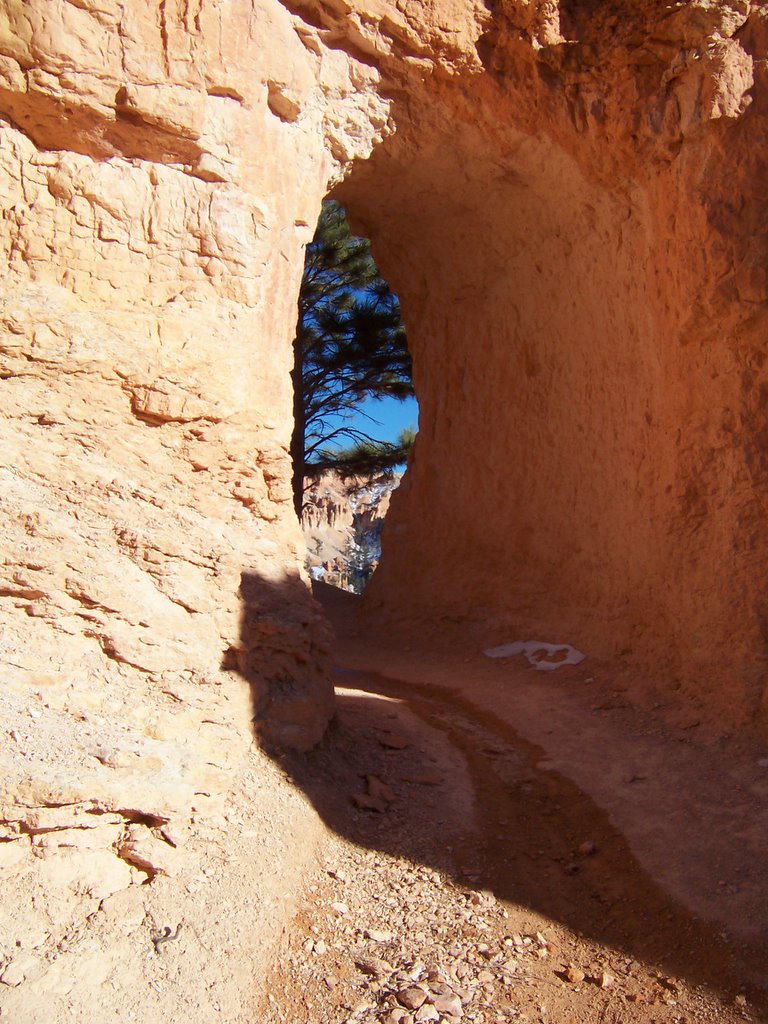
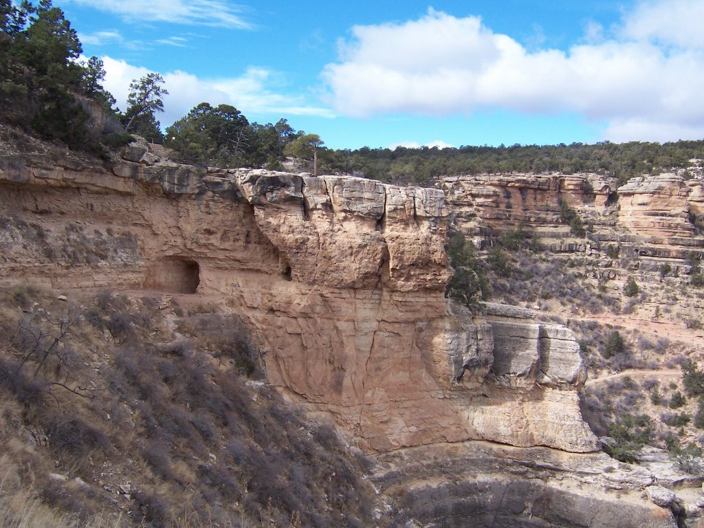
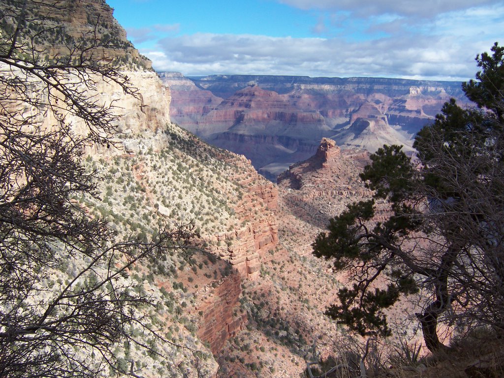
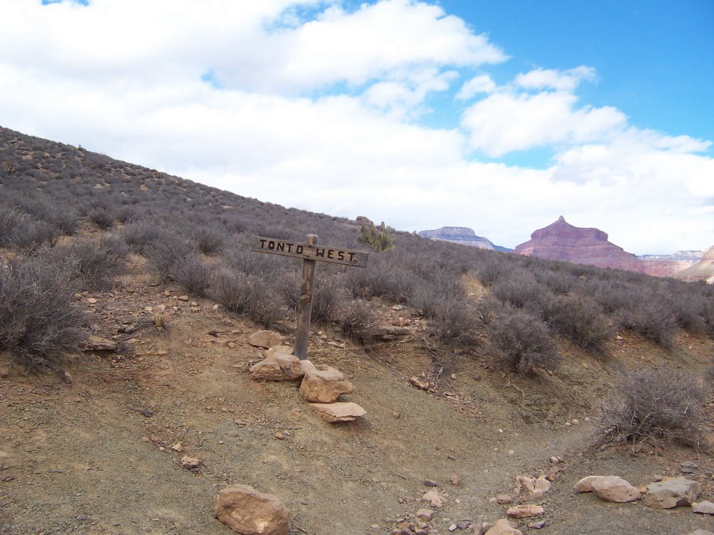
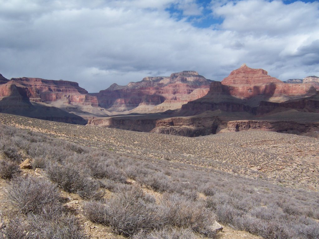
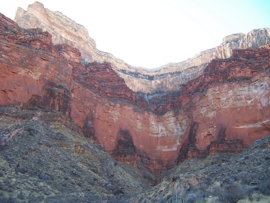
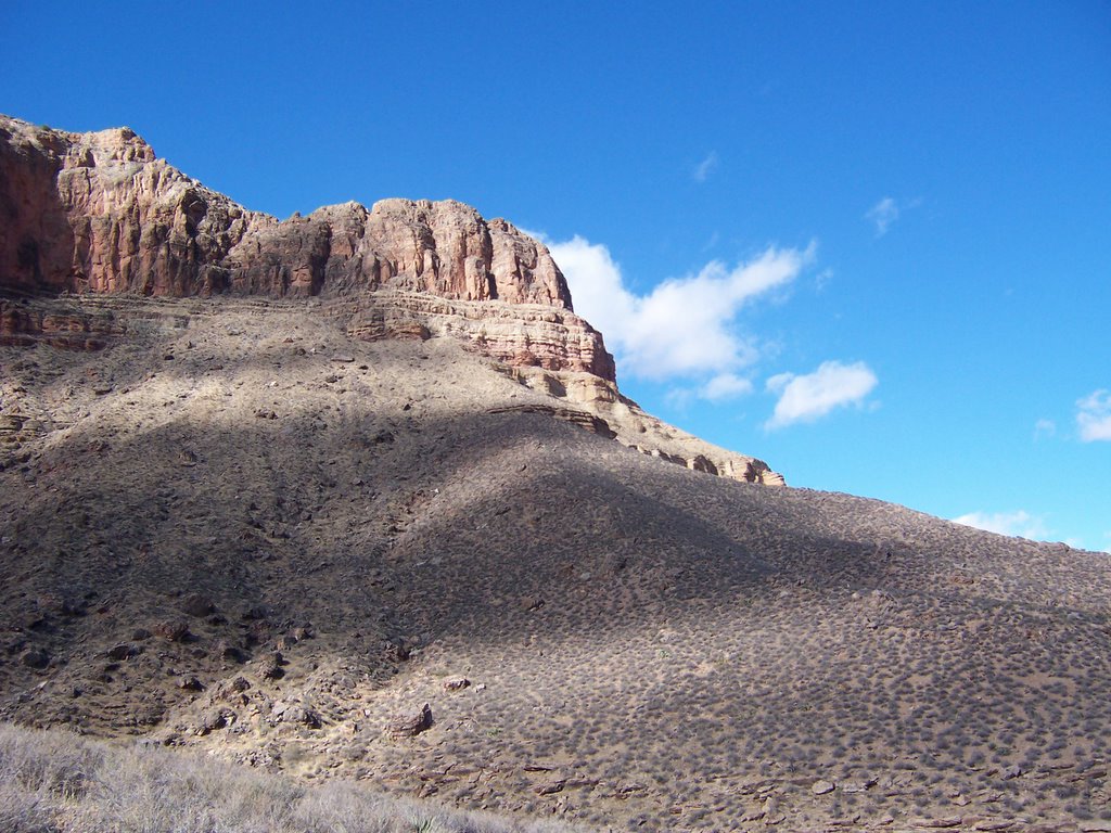
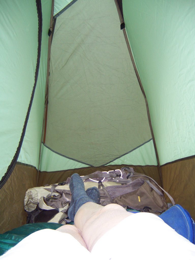
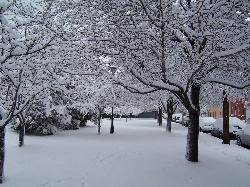
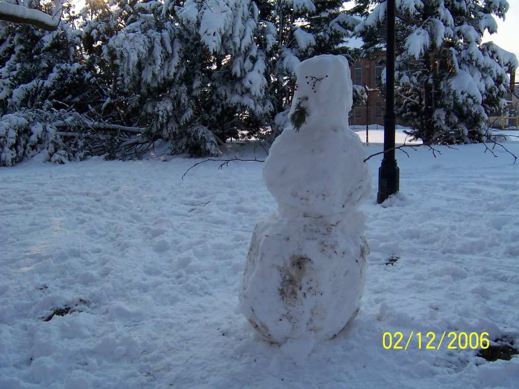
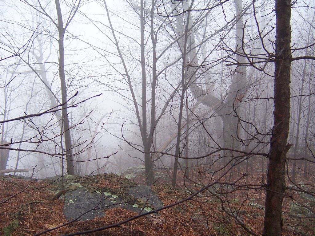
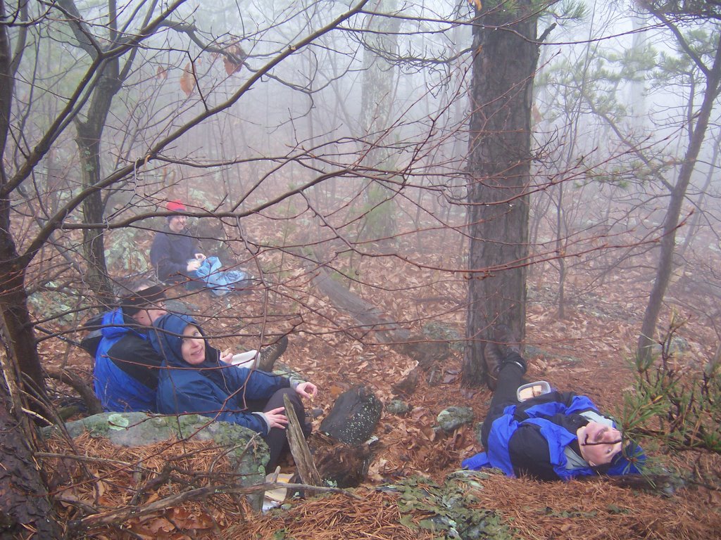
  Pics are as follows:


Bryce Canyon 2006, Navajo Trail, Peekaboo Trail, Tropic, UT

I left Vegas and headed up to Bryce Canyon National Park without any type of hotel reservations and plans. I saw that the entrance to the park was very tourist oriented, which wasn't for me. So I drove past it and headed into the tiny town of Tropic, UT. I found a bunch of motels there but, strangely, none of them were open. I asked someone where I could stay and luckily one motel had reopened for the season, the Bryce Valley Inn. I introduced myself to the innkeeper, Wes, and was given a very comfortable room. I told Wes I wanted to do some serious hiking in the park and he suggested that instead of going through the park entrance I should begin my hike at the town of Tropic and go in the back way. This turned out to be an excellent idea. This way I started from the bottom and was able to go up and down twice. The views were spectacular, however, the weather warmed up to about 60 degrees F rendering the snowy trail into a mess of slush and mud. I was only able to hike 16 miles that day. I took lots of pictures.

One segment of the Peekaboo Trail was closed, so naturally I had to find out for myself why they were keeping me off the trail. I went under the chain and quickly descended. It turns out that portion of the trail was under 1 foot of messy snow, there were huge ice patches and one portion of this cliff-lined trail was completely washed out. It was quite the technical challenge and I was happy that I had brought my emergency blanket, extra water and food as well as a signal light. If I had slipped-up I would have been in the canyon for awhile.

( Update 01/26/21 I received a very nice guide from a man named Lukas for the trails in Bryce Canyon. It is far more in depth than anything I can provide. If you are thinking about visiting and hiking Bryce Canyon this is an excellent source: https://www.10adventures.com/hikes/bryce-canyon-national-park/.)

There are lots of pics associated with this.

Grand Canyon 2006, Bright Angel Trail, Tonto Trail, Salt Creek

I had a premonition that something bad was going to happen and I was right. My plane was 6 hours late(strong headwinds resulting in missed connecting flight) and then the airline lost my luggage which took two hours to rectify, consequently it was nearly 8PM before I got started toward the Grand Canyon from Las Vegas. Fortunately, in Arizona it is perfectly okay to drive 80 mph. I spent the night in my rented PT Cruiser in a hotel parking lot next to the "No Car Camping" sign.

I woke up early Sunday morning, checked in at the GC Back Country office and then descended on the Bright Angel Trail. There were hundreds of people on the trail which wasn't for me. When I turned west on the Tonto trail I only saw one group of older men who were tired and thirsty. They were amazed that a middle-aged woman was headed into the hinterland all on her lonesome so I turned on the perkiness and charm just to fuck with them. After I passed this group I didn't see anyone else until I returned to the Bright Angel Trail which was nice. Salt Creek was really wonderful and remote.

I managed to do a total of 24 hard miles with the pack. My weight-lifting paid off, I barely felt the pack. I hiked from Indian Gardens to the South Rim on monday morning in 3 hours, a 3500 foot rise over 4.5 miles. Not bad with 25 pounds on my back. I'll let the pics speak for themselves:


Baltimore, snowtime

Last August, I smugly decided to take some pictures so I could remember one of my favorite places when it was cold and miserable. Yes, February has brought some frigid temperatures but sometimes the planets become aligned in the winter and this city quickly becomes worth every single penny I pay in my ever-escalating property taxes. The fat tourists have retreated from the harbor to their rumpass rooms with their toaster streudals and video games leaving the city to me (except for Fed Hill, of course).

The yard


Before the kids mess up the lot


Even the ugly Harborview townhomes don't look bad in the snow


Federal Hill
Due to tight living quarters,South Baltimoreans believe in multi-use possessions. I saw plastic bags, trash can lids, inflatable boats and an incredibly fast inflatable mattress.


Downtown


Frosty Sea Monsters


New Security Guard
I found this in front of my house when I got home.


So the next it's 95 degrees in my living room and the air is stale and stagnant, I can have something cool and powdery to look at.

Shawl Gap/Sherman Gap, Virginia


Yesterday due to laziness I decided to go on a Mountain Club of Maryland hike, I just didn't feel like driving someplace and have to simultaneously look at a map. A group was going to Shawl Gap or Sherman Gap or whatever you would like to call it in the Massanuttens, across from Signal Knob. The weather called for a 90% chance of rain, but the mcomers are more reliable than the postman. Rain, sleet, snow and hurricanes don't do much to put a damper on this crowd.

Needless to say, everyone showed up promptly and we took off for the mountains. Naturally, it started to rain. Fortunately I wore a wide brimmed hat and some minimal rain gear so the short 9-mile hike was pretty enjoyable.
Visibility wasn't much more than 20 feet. I'd recommend this hike for anyone wanting a daytrip hike of 1600-2000 foot elevation change. It's a 2 hour ride from DC or Baltimore.