Big Savage Hiking Trail Backpack, Maryland

Update, March 20, 2008:

I have notice a heck of a lot of hits to this blog regarding this trail. This blog is not one of those informative trail sites but there seems to be an incredible lack of information on the Internet about this place. I was shocked and horrified to read that someone else is actually charging money for information regarding The Big Savage Trail. So I have created a hand drawn downloadable map that is not exact, but exact enough for hiking purposes. I have also created 2 maps to the termini of the trailheads. This should clear up some confusion and hopefully save somebody some money.

Trail map:


Map to north trailhead:


Map and directions to southern trail head, I'm doing this from memory:
Go to the campground on north side of Savage River Road. Drive into campground and head west (left) as far as you can go on the campground loop. Looking west along the Savage River you will see a gate, I think it is yellow. Park your car. Beyond the gate is a road. Stay on the road and when you get near the Savage Dam you will see a sign for the trail.


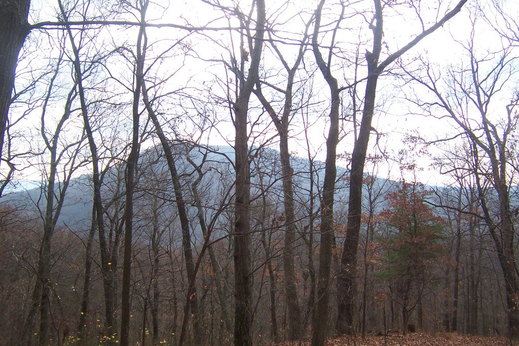
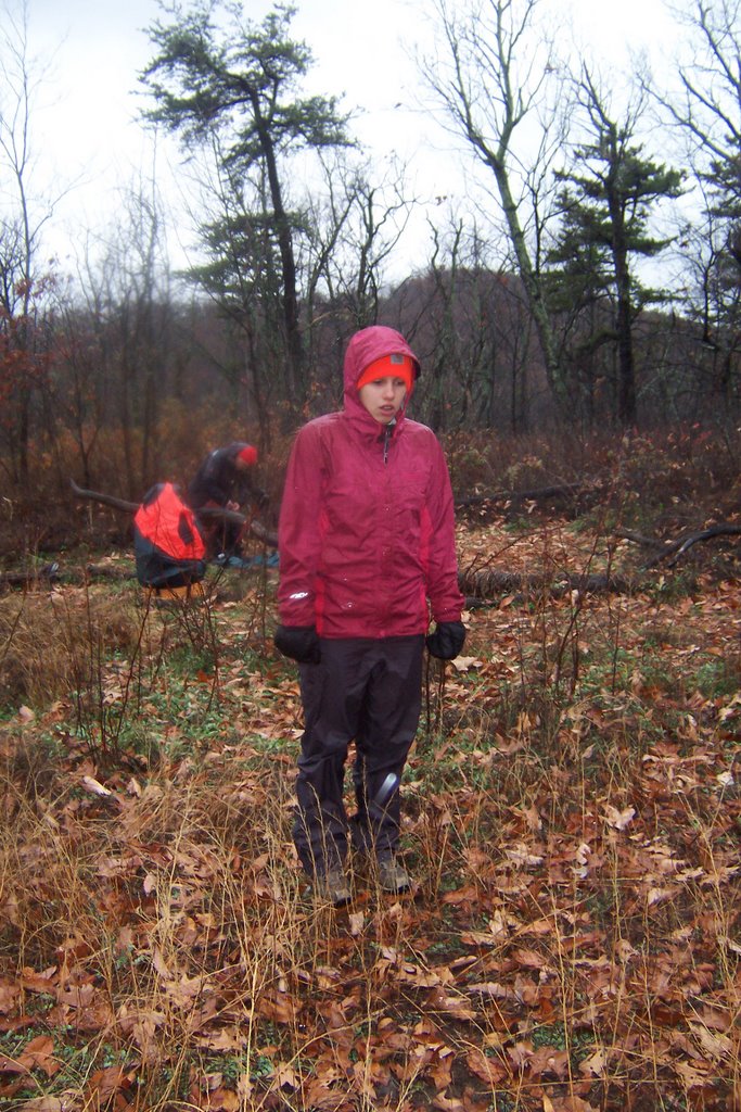
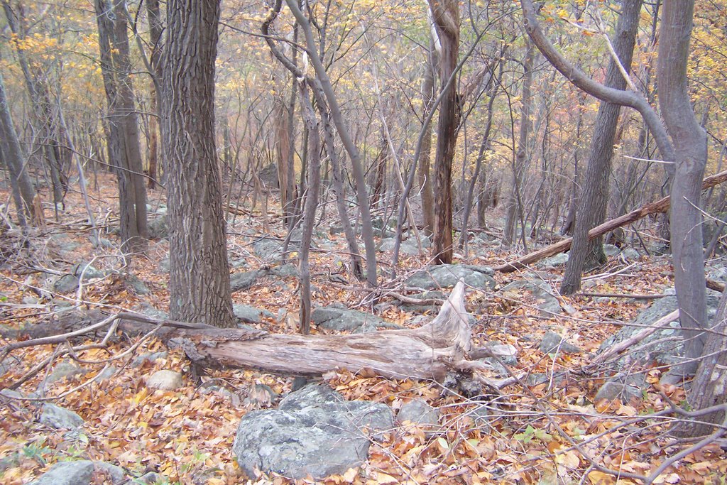
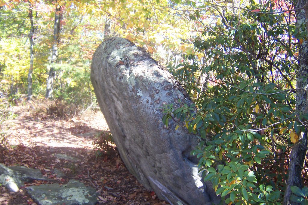
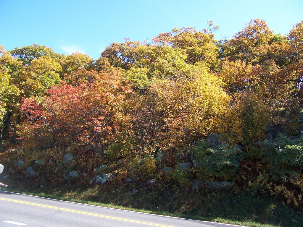
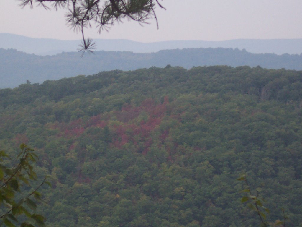
This was a hike hosted by The Outdoors Club led by your's truly. You can find a good trail description for the Big Savage Hikiing Trail on Big Savage Mountain near Frostburg, MD in this PATC book. However, let me add some additional comments. Due to what looks like a serious gypsy moth infestation, the tree canopy is pretty shot leaving some serious undergrowth. A good portion of the 17 mile trail is overgrown with briars so wear thick long pants or bring lots of bandaids. I would not attempt this trail in the summer. Sometime between the last time and time2 I was on this trail and now a kind soul took a great deal of time and effort and marked this trail very well, so at least you will know where you are going. The trail marking was a pleasant surprise.


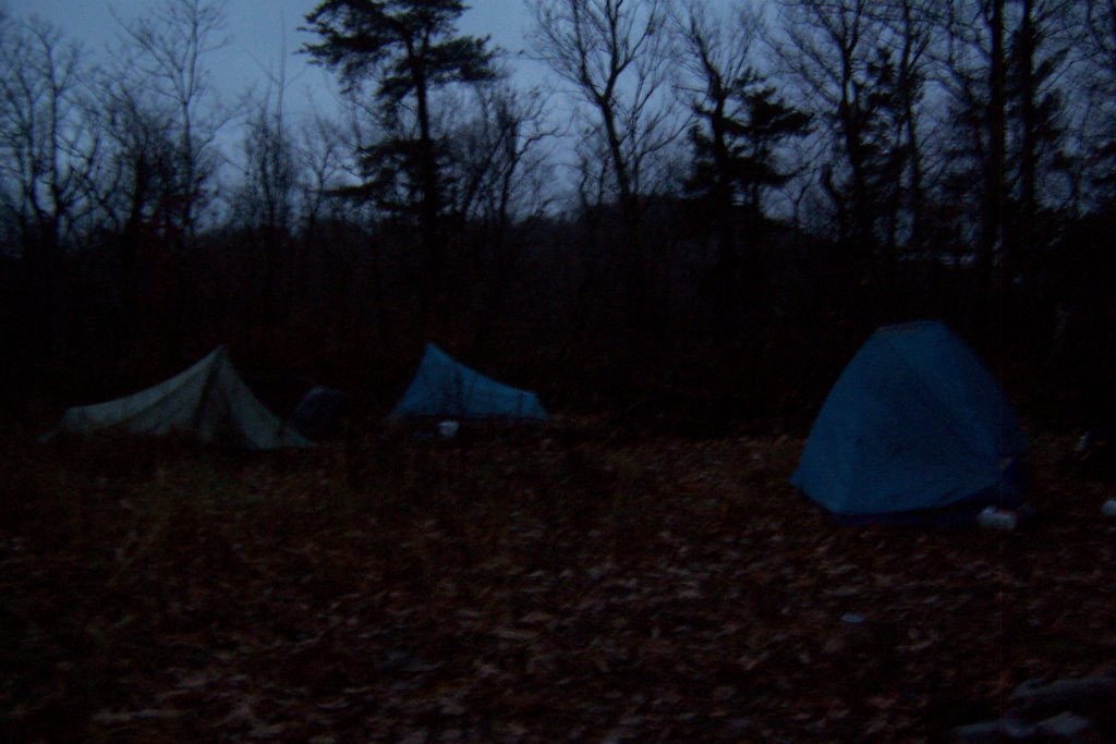
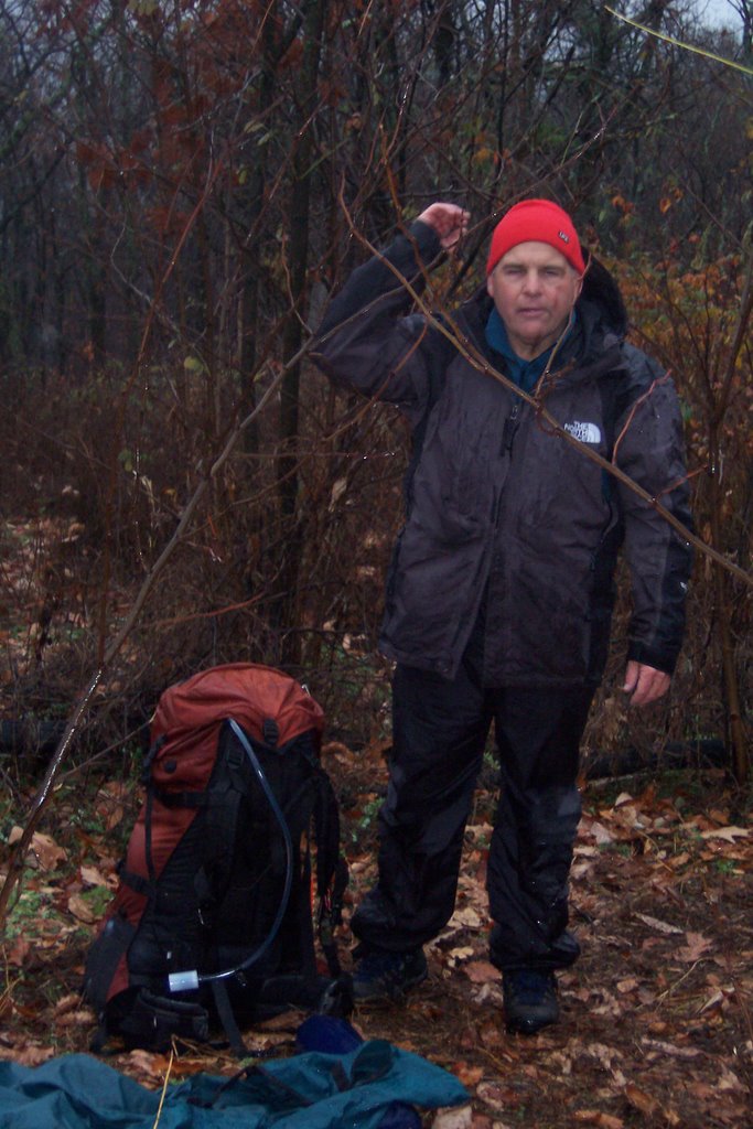
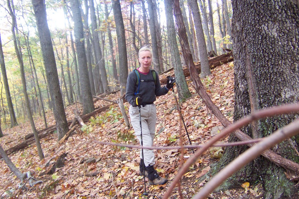
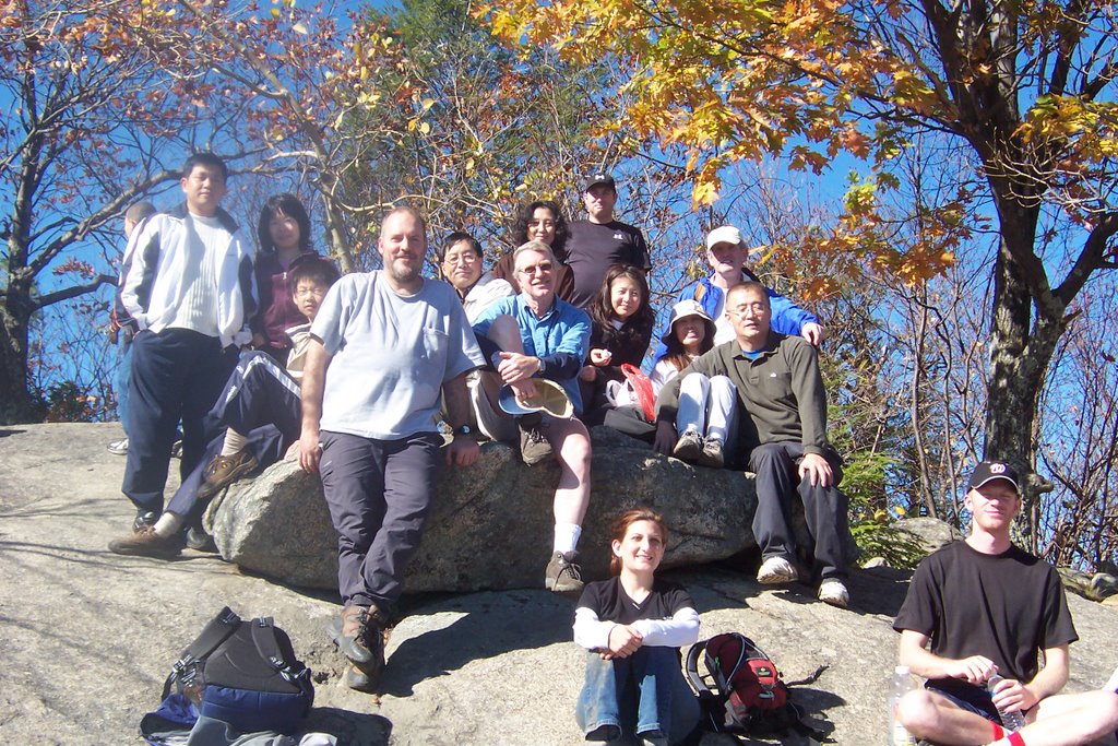
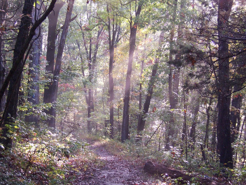
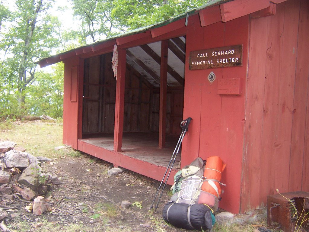
This time I was determined walk the entire trail end to end. Thankfully I had all these unsuspecting people to help out with transportation and logistics. On the hike were Tuna, Hungry Ted, Keith, Lisa, Kisses and Jada. Since we were 4 days away from the shortest day of the year we were forced to put more than a little spring in our step. We started at St. John Rock and headed south. The book said there would be good camping on the ridge at mile 11, all we found were a lot of briars and undergrowth but we were successful finding enough space directly on a logging road.

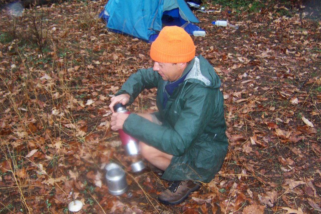
I know that many of you who know us have come to this site to get the dirt on what happened. Unfortunately too many of the participants have significant others so I am forced to keep my mouth shut. I will say that I have never seen so much alcohol brought for a one-night backpack, things got rolling early due to the 5PM sunset.

The next day we visited the High Rock Tower.
I managed to climb up to level 2 and then refused to go any further, the tower seems more than a little dangerous. Lisa was the only one who made it all the way to the top. At the bottom I made another video interview with Keith, a trail overseer with the PATC Cadillac Crew. If you want to learn about being a trail overseer take a look.

Patapsco Valley State Park, Maryland

This weekend I had to stay home to get some thing done, but I did want to check out a new GPS system that I created. I'm using a Palm TX, Holux slim236 bluetooth GPS and Delorme TOPO USA 6.0. Everything worked fine at the house, even inside the house but I wanted to give it a try in the forest close to home before I wanted to rely on it out in the hinterlands. The Holux is probably the strongest GPS satellite sucker on the market that I can tell.

My hunter friend volunteered to test the GPS system with me and we started out this morning in the Avalon area of Patapsco Valley State Park. We decided we wanted to take a look at some waterfalls in a ravine. I was unable to pull in a satellite signal until we got on top of the ridge. But once it came in, it stayed in. The Holux stayed in my pocket the whole time, unlike Garmins where you have to keep them outside and then they don't work even then.

We shot a video for your enjoyment.


My hunter friend is very concerned about tracking deer, so we ended up looking for signs of deer and looking at rub areas on trees. I didn't think much would come of all this, but sure enough, we got to the top of a ridge and there was a nice big buck. Hunter friend got all excited. We trampled through the woods, ignoring the trails and zigzagged across the park. We watched the geese and ducks in the frozen pond too.

Massanutten Trail West and Antietam Battlefield

When on the Massunutten Trail East a few weeks ago I got a good look at the west ridge and decided to check it out. I set out in the dark Friday night and managed to park my minivan at the very top of Woodstock Gap near the tower, so I had a beautiful view of the lights on both side of the ridge. I set out on the Massanutten Trail heading south on Powell Mountain early because of the limited daylight and realized the trail was going to be a slip and slide due to an excessive amount of newly fallen oak leaves. I made this video for your enjoyment:

A ran into a couple of hunters around 10:30AM, although I can't imagine they were having much success that air was alit with the noisy sounds of many ATVs and bambi has never hung out on a steep ridge of a mountain, I have never seen a deer midmorning either. Maybe these guys knew something I didn't or they weren't the brightest bulbs. I had to climb Opechee peak because I had seen this pretty peak from the other trail. Although you can only get to it on the ATV trail which is a long road of annoying scree, it is well worth the climb. I also saw some hang gliders and paragliders along the way, there must be a ramp around somewhere.

I managed in the neighborhood of 15-16 miles before I gave up at 3PM. I spent the night in Front Royal which has proved to be a pretty good place to hang out, the Daily Grind downtown is open until 9:30PM and the streets over there are relatively quiet. The good news is that they are currently building a Wal-Mart which will come in handy. Now if they only will build a decent Sheetz.

I decided to play tourist the next day and visit Antietam. Battlefields tend to put me to sleep but I am trying to make use of my parks pass. I watched the NPS official Antietam movie and they made it sound like the Civil War was about the struggle over slavery. Nothing is further from the truth, that war like every other war was about ego and testerone much like our present war. All it takes is one maniacal power hungry dimwit from the south to come up with a dumb idea and thousands of people lose their lives waving the American flag. If you think for a minute that the Civil War soldiers or those Iraqi troops were/are fighting for "freedom" you better think again. Fail to fill out a 1040 form on April 15th and you will find out just how not free you are.

I made a little video in the cornfield. Several troops on both sides were sent to battle each other at close range even though their weaponry could have been used yards away. Nobody could see anything in the cornfield because of...the corn. Nobody knew who they were maiming and killing.


Here are 2 more pics. The first is picture of Bloody Lane which is all of a few hundred feet long. 5000 soldiers lost their lives over this pathetic piece of farmland.
This next pic is of Burnside Bridge where a bunch more people lost their lives over a tiny little bridge. I am sure some of those soldiers must have thought at one point, WTF am I doing here?

Bear Run Nature Reserve, Pennsylvania

Did you expect me to have a 4 day weekend without fitting in a hike somewhere? You know me better than that.

I contacted more than a few hiking clubs in the Pittsburgh area begging for someone to take me hiking. Unfortunately, I asked for a long hike with lots of elevation changes and, well, the Pittsburgh hikers thought I was nuts. However, the Allegheny Sierra Club claimed to have a 9 miler at the Bear Run Reserve near Ohiopyle on Sunday. I tried to call the hike leader but his phone wasn't working properly, all I got was a beep. But that didn't deter me, I figured I would find the place and show up, which I did.

The Sierra Club didn't show up, but one other person was there looking for them too. So we went on a hike together. This unassuming nice hiker named John probably didn't quite understand what he had gotten into when he agreed to go hiking with me. After 10 minutes of hiking we had lost the trail so I suggested an nice bushwhack(after a Ranger Lady told me not to bushwhack) through the woods which was sucessful, we found the trail. This nature reserve boasts a good set of trails and you can actually squeeze out a 10 mile loop with about a thousand feet of elevation change. The western perimeter of the property abuts the Youghiogheny River but the trail stands about 100 feet above the water so you can get a good view in winter. Unfortunately, there is also some railroad tracks so it can be a little noisy with the trains.

On my way home I stopped in Ohiopyle to take a closer look at the 43 mileYoughiogheny River Trail which is a crushed stone bike trail very much like the NCR. I went into a store and asked about the possibility of tubing and someone informed me that tubes aren't allowed. The place would be idea for my one of my tube and bike extravaganzas, it's a shame. I did see a few people kayaking in the very cold water which means there are some hardcores around here. I will need to do some more exploring next summer.

Pittsburgh, PA

I have failed to visit the glorious city of Pittsburgh for the last 25 years. Why? Well, for a not so good reason. I used to date this guy who went to Carnegie Mellon. One day while I was visiting him on campus he got down on bended knee and asked me to marry him. He painted this picture of our life together where he would go to PhD school for then next 10 years and how I would get a job to support us, clean the house and raise our children while he busied himself with his studies. He told me I would make a wonderful wife and mother to our unborn children. Needless to say, the day he proposed was the day I broke a landspeed record by car out of Pittsburgh and I haven't been back since. This left a bad taste in my mouth about Pittsburgh which is a perfectly good city and didn't deserve my ire.


Now that Rick Santorum is out of office I felt it was safe to go back. Pittsburgh was a town never meant for tourists, but that doesn't mean ignore it. The place was built so that a few people could get rich off the backs of unsuspecting immigrants from Europe during the Industrial Revolution. The Carnegies, the Mellons, and God knows who else would build these megafactories that cranked out steel, ketchup and other goods that the rest of the country needed, and these folks somehow convinced these Europeans that toil in a miserable place under miserable conditions was a good idea.

Since Pittsburgh never cared how comfortable and pleasant it was, it used the wonderful riverbanks to place some rather ugly highways and railroad tracks. Consequently nobody gets access to the waterfront. I am not this situation can be fixed, all I know is that if I were a politician I'd be making a big deal out of relocating some roads and trains somehow.

But the real star of the show isn't the waterfront or lack there of, but the edifices the immigrants built. It would take me a month and a much better camera to do justice to the many churches, factories, homes and halls that these people created. The immigrants that came to Pittsburgh were Germans, Italians, Slovaks and Russians. They knew exactly what to do with all the stone and brick lying around and boy did they build and build and build. Even the old factories are amazing with all sorts of architectual delights.

These folks liked to outdo each other, the German church had to be bigger than the Ukranian church next door. I guess what was being told to these people was that your life sucks now but if you work really really hard at the factory you would go to heaven and life will be much better. After a few years Pittsburghians quit believing in this BS and quit going to church. The steel industry took a nosedive and the locals decided that they should move elsewhere and get degrees in computers and move to Maryland, which is where many of them are located now. So many of these huge building stand empty. The vacated churches are being transformed into homes and bars so they get a new lease on life.


However, people, this place has some wonderful real estate bargains, probably because there aren't that many jobs in Pittsburgh. So if you are looking for some cheap living and a reasonably pleasant place you should look into Pittsburgh. This is primarly why I was there, to help my friend from New York take a long hard look at a more manageable place to live.

I wonder if they let people kayak on those rivers? I'll check into it.

Lucky for me I left on Saturday night, it was a good decision because the Ravens thoroughly humiliated the Steelers the next day 27-0, and I didn't want anyone to cap my ass, driving around with the Maryland tags. They take their football very seriously.

WMRT, Sideling Hill, Fort Frederick SP, Maryland

First of all, I know why many of you searched out my blog today, so I'll give you what you want. I didn't see many whitetail on Sideling Hill, probably because I wasn't there during feeding time and it is pretty steep in the area. I did see a gaggle of turkey, maybe 20 on my way up. I saw several whitetail, does mainly no bucks, on the WMRT(Western Maryland Rail Trail) near mile markers 13-15 at sundown. Have at it boys. Now you owe me some meat.

Okay, back to me. Accuweather was calling for sunny skies on Saturday and partly cloudy on Sunday so I figured I'd better get out there. I spent Friday night in Berkeley Springs, WV only to wake up to an overcast sky on Saturday morning but that was not going to put a damper on my day. I had big plans for a bike and hike. I ate a hearty breakfast at the Bridge Restaurant in Hancock, MD. I will make a note that I received a free donut and a free calendar magnet while eating, these people will get more of my business.

I started out on my bike in Hancock on the WMRT and headed north to Pearre. This leg was pretty uneventful as not too many people were out except for a very large boyscout troup. I stopped along the way the explore some abandoned houses near Hancock. I am sure the Park Service managed to run these people off for some reason.

Once I got to Pearre I was bound and determined to successfully climb Sideling Hill because I had failed miserably on my previous attempt. I rode my bike up a very large hill and down a very large hill on Pearre Road to get to a starting point on an old fire road where I locked the bike up and started the hiking portion of my day.
The road was not flat or switched backed, but it got me up most of the way quickly. Then the last half mile up with 300 feet of elevation I had to perform on a bushwhack to the top. I didn't take a compass, GPS or map so if I had not found my starting point off the fire road on my return I would have been really screwed. I used a sightline and landmarks to get myself back. I made a video at the summit.

Once I got back to my bike things got ugly. It was about 2:15PM, sundown was a 5PM. I was not interested in climbing that hill back to Pearre on my bike so I was thinking there might be a way to scooch back through the forest to the canal. As I was pondering my dilemma a gentleman in a car stopped. The man asked me whether I needed to look at a map. Normally advice I get from strangers is pretty good. I explained my situation and the man claimed he was an expert on the area and he suggested I head north on Pearre Road toward Little Orleans if I didn't want to go uphill.

Disclaimer: I would have made the same mistake if I was left to my own devices but when other people offer themselves up for me to blame for my problems I readily sieze the opportunity.

The road northward ended up being a hill about 3 times the size of the hill I would have had to climb had I headed south. The hill was brutal and I am pretty sure I ruined my brakes on the way down. There was no easy way back to the canal. I cursed that "expert" the entire time. The man had Pennsylvania tags, I should have known he didn't know squat about terrain in Maryland. This added an extra 7 miles to my journey and an hour that I didn't have to spare. I was pretty happy when I finally got back to the north trailhead of the WMRT. Needless to say I rode as fast as I could back to Hancock to get there precisely at 5PM.
It was getting really cold too. I almost took these people up on their offer.

After cooking up a delicious dinner in the minivan I headed back to Berkeley Springs. The night's entertainment over at the Red Guitar Coffee Bar was a pseudo band called "The Real McCoys". This band consisted of the town doctor, the proprietor of the Red Guitar and a few other stragglers who didn't quite know each other very well but well enough to cobble together some pretty good rockabilly music. The place was packed to capacity and lots of fun until some unwitting soul tried to move a chair. Everyone knows that the chairs do not, will not, cannot move from their predesignated spaces. The proprietor proved that you can play pretty mean riff on a guitar while yelling at someone about rearranging the chairs.

Sunday I woke up and decided to visit Fort Frederick State Park. I had been there before but refused to pay the entry fee. This time the park office was closed so I could get in for free.
It was a lonely day because I was the only one there. Here is my description of the fort which differs slightly from the official approved version from the maryland government.

In the 1700s several white people came to Maryland from Europe to make copious use of the potential farmland and the natural resources of this recently discovered area. The Indians, who were already happy on the land, didn't like the white people taking over. So the Indians started wreaking havoc on the white settlers with some raping, pillaging and killing. The white people were scared so they built a fort to cower behind until they could blow the Indians to Kingdom Come using their muskets, something the Indians didn't have. The Indians were defeated. Those that were not killed were sent to live on reservations in the desert, become alcoholics and enjoy liberal profits from their casinos. Why Indians can have casinos and the settlers cannot beats the heck out of me.

Duncan Knob

Normally I have beautiful photos of valleys and vistas, however, this time I failed in the photo taking department. The backpacking gang decided to take a jaunt on Saturday at Duncan Knob nestled securely in the middle of the Massanuttens, the weather was perfect to start. We started at the lower parking lot south of the Massanutten Visitor's Center off of 211 using the Massanutten Connector trail to intersect with the Massanutten Trail. When the 6, of us, Terri, Lisa, Keith, Ted, Ron and myself got to the intersection our party split evenly with 3 going west and 3 heading north. I was with Terri and Ron northward, when we got to the intersection at Scothorn Gap Terri and I decided to head east and Ron continued north. We all planned to rendezvous at Peach Orchard Gap. However, our plan went violent awry when we learned that 26 boyscouts plus leaders were planning a campout at the very same spot.

We altered the plan to take control of the peak at Duncan Knob. When Ron, the first hiker to arrive, got to the summit he found a group of Chileans there. We had no choice but to create a new campsite to the east on Duncan Knob Trail. The sun was setting and one member of our party went up Duncan Knob to have a look around. We started to set camp and realized this person was nowhere to be found. Panic ensued. We sent a search party up the mountain who found our lost lamb and brought them back to safety. We built a nice fire, told stories and went to sleep.

Then is started to rain and the temperature dropped. Here is a picture of our campsite in the dark at 7:30AM Sunday.


Here is a picture of some unhappy campers.

In the rain we quickly quickly hiked back to the cars. Despite the inclement weather on Sunday we all had a pretty good time.

Pignut Mountain Bushwhack, Old Rag, SNP

Pignut Mountain is a free-standing mountain on the eastern side of the Shenandoahs. There are no trails to its summit though it can be seen from many areas of the park. I have been looking at this beautiful mountain for years and had always wondered what it would be like to climb it. Saturday I mapped out the shortest way to its top off of the Hull School Trail and set out to find out what was up there. You could see the entire ridgeline of the Shenandoah ridge from the top of Pignut. The bushwhack was steep but a great deal of fun.

Sunday I had agreed to meet Binli who I had met a few weeks ago over at Overall Run for a hike on Old Rag. Binli clearly has more friends than anyone else, as she amassed a fairly large group of hikers with whom she works, long time friends and people to whom she easily endears herself after quick meetings on mountains. The lady is obviously very popular.


The day weatherwise was spectacular, not a cloud in the sky and the Shenandoahs were awash in beautiful fall colors. It had been many years since I climbed Old Rag, and I had a great deal of fun with the rock scramble at the top. A word of warning for those who go, the Park Service does charge an entry fee at the parking area, however, your National Parks Pass will get you in for free if you have one. The view is a wonderful 360 degree offering: You can see the Shenandoahs to the West, Doubletop Mountain to the South, Deal and Dulaney Mountain to the Southeast. One of the Binli's coworkers, Jim, was the speediest hiker but we all very impressed with a couple who claimed to do no exercise at all but were able to handle the hike valiantly. Although this hike only entails 7-8 miles it can be pretty strenuous due to the 2500 ft. elevation change. Here is our group picture near the top.


After we finished our hike, Binli and Michael invited everyone over to their beautiful home for a wonderful delicious dinner and post-hike party. I hope Binli invites me on a few more hikes.

Massanutten Ridge East Side, Virginia

I decided that I wanted to get some distance so came up with a plan. I drove to the 'Tuscarora meets the Massanuttens' trailhead off of Route 613 and spent Saturday night there. Then I woke up at the crack of dawn and hit the mountain. The Massanutten trail is nice because it is about 71 miles in length, which means that you can go as far as you want as long as you are doing an up and back. You get some lovely views of both the Shenandoah Mountains and the squigly Shenandoah River. This was the first pic of the day taken at Tuscarora/Massanutten intersection of the Shenandoah Valley.

The Massanutten Trail can be difficult and I will explain why. The Massanuttens are two ridges that are parallel to the west side of the Shenandoah Mountains. But they are different than the Shenadoah. Imagine if someone folded a graham cracker up like an accordian. The trail lies directly on top of the jagged ridge caused by the folding. Needless to say, at times this is not a smooth mountain path. Jagged rocks impaling the trail surface abound. You can't see the steepness unless you are at the top of the ridge looking down. This means that one cannot make record time on this trail. I gained a new found respect for those who participate in the The Massanutten 100 Mile Race. There are good reasons why those finishers have blood all over themselves. I can't imagine somebody being able to perform 100 miles of this misery in just 17 hours and 40 minutes, I am amazed at the success of the participants.

Everyone in Baltimore was running a marathon this weekend, I figured I'd do a marathon too, but I'd do mine on the moutain. I spent every daylight minute that I could muster going from Veech Gap all the way to Stephens Trail intersection. I had to wave the white flag of defeat 1 mile away from Kennedy Peak as my turn around/lunch time time was 12:30PM. This gave me 28 miles and probably 4000 feet of elevation change.

Here is my video offering of the day, I do some sexy clothing modeling for you.

Overall Run Shenandoah, Front Royal, VA

I wanted to hike this weekend, the weather called for rain Saturday morning with a partly cloudy day afterward, at least in Baltimore. I figured I would take my chances and head out Friday evening to Shenandoah NP and wait for the rain to stop on Saturday morning. The plan would have been a good one if the rain had actually stopped, it didn't. It rained all day. I was stuck in Front Royal, VA all day with nothing to do.
Fortunately, The Royal Oak Bookshop had a good selection of books and I managed to hole up in a coffee shop reading Cather's, O Pioneers.

I drove all around Front Royal that day trying to amuse myself, I found a place where somebody had set up a very odd unofficial roadside sanctuary for black vultures and feral cats. There were little shelters and lots of cat food cans, some rather mangy cats and many full size vultures hanging out. Very neat. If you are interested in seeing this little phenomenon, email me and I will give you directions. You can get very close to the vultures as they seem as friendly as a vulture can get.

Saturday evening I parked my car on Manassas Street in Front Royal. Wouldn't you know, the local drug dealer must have lived there because people were stopping by all night running into a nearby house. The locals must be extremely tolerant because I wouldn't have put up with that noise for more than 30 seconds. Needless to say, I didn't have a restful night.

Sunday I finally got to do my hike. I try not to write about the weather but the weather was very interesting. I arrived at the trailhead off of Thompson Hollow road, the sky was clear and beautiful, perfect day for a hike. 20 minutes into my climb it started to turn misty. After an hour I could barely see 20 feet in front of me and it started to rain. Overall Run was at capacity and I had 2 stream crossing during my ascent.
The first one I took off my shoes, the water was icy cold so I was determined not to have to do that again. The second crossing was dicey but I made it. Socks stayed dry.

I got the the waterfalls and couldn't see a thing.
Here is a picture of the larger falls, I was about 40 feet away and this is the best picture I could get.


Here is my video entry for the day about the weather:


I continued my ascent and ran into 2 enthusiastic hikers, Benli and Michael. They were inquisitive and asked me about my route. I showed them on the map where I had planned to go and warned them about the stream crossings. I figured that they would get to the run, turn around and come back.

I continued on my way and reached the top of Hogback Mountain where the sun was shining again, I ate lunch at the overlook with all the cars and motorcycles.

Motor cycle groups are pretty common and pretty noisy up here. It makes it loud and unpleasant. The leaves are just starting to turn at the top of the moutain.

As I looked over the overlook I could see the cloud layer that was causing the foggy conditions on the trail, it just was hanging there at about 2500 feet. Luckily, when I started my descent it dissipated.

I was able to quickly descend on the Heiskell Hollow Trail. When I hit the intersection at Beecher Ridge Trail I met up with Binli and Michael again. Binli and Michael had succeeded in taking off their shoes at the 3 stream crossings and were headed back up the mountain to their car. I guess I underestimated those two.

I must have hiked about 14 miles with 3200 feet of elevation change. I could have easily handled another 1000 feet but the mountains are only so high and there was no way to get more mileage out of the area.

County Line Trail, West Virginia GWNF

I had a book I wanted to read and decided to get the peace and quiet necessary to plow through it, I would have to backpack somewhere that didn't have Internet, computer, TV and phone. West Virginia is always a good place for this.

Friday I headed out to the Waites Run area, only to wake up to a soft rain on Saturday morning. So I headed over to the White Star restaurant in Wardensville. This place was opened in 1935 and has pretty much stayed the same since. The prices haven't changed much either which is why I highly recommend it. If you want to talk to the other customers, though, you will need to study Advanced Hillbilly beforehand.

I got back to Waites Run and headed north on the County Line section of the Tuscarora Trail. Again, the Tuscarora is more overgrown and less used than the AT but I favor it over its much traveled cousin. There are a lot of rocks and it can be slippery when wet, but the difficulty gives you a reward with a less-used trail and some spectacular views. Please see that the red fall leaves are just poking through. Most people head south on it from this area, but heading north about 3.5 miles from this location gave me an unbelievable view of both Paddy Ridge, Baker Mountain and Pine Ridge as well as some amazing wild flowers.

I got to the Paul Gerhard shelter, which was nice as shelters go, and made the decision to turn back and go up the ridge to spend the night. This was a bright idea at the time but the minute it turned dark a vicious wind came at me from over the ridge. It was a hot wind too. My tent, which I purchased for the sole purpose was that it could withstand some wind, was beaten around. I drifted in and out of a difficult sleep but I didn't feel like breaking camp in the middle of the night to make the descent to the shelter. I don't like sleeping in shelters.

I awoke to a pleasant day and made my way back on Vance's Cove and Wilson Cove trail. I have a new treat for you guy, since I had time I played around with the video feature on my camera.


Perhaps I spent a little too much time in the gym this summer.


Here are my Wild Flower pics: