 This was the first pic of the day taken at Tuscarora/Massanutten intersection of the Shenandoah Valley.
The Massanutten Trail can be difficult and I will explain why. The Massanuttens are two ridges that are parallel to the west side of the Shenandoah Mountains. But they are different than the Shenadoah. Imagine if someone folded a graham cracker up like an accordian. The trail lies directly on top of the jagged ridge caused by the folding. Needless to say, at times this is not a smooth mountain path.
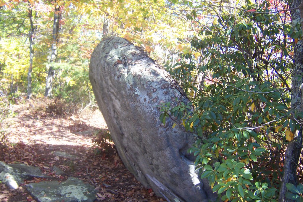 Jagged rocks impaling the trail surface abound. You can't see the steepness unless you are at the top of the ridge looking down. This means that one cannot make record time on this trail. I gained a new found respect for those who participate in the The Massanutten 100 Mile Race. There are good reasons why those finishers have blood all over themselves. I can't imagine somebody being able to perform 100 miles of this misery in just 17 hours and 40 minutes, I am amazed at the success of the participants.
 Everyone in Baltimore was running a marathon this weekend, I figured I'd do a marathon too, but I'd do mine on the moutain. I spent every daylight minute that I could muster going from Veech Gap all the way to Stephens Trail intersection. I had to wave the white flag of defeat 1 mile away from Kennedy Peak as my turn around/lunch time time was 12:30PM. This gave me 28 miles and probably 4000 feet of elevation change.
 Here is my video offering of the day, I do some sexy clothing modeling for you.
4 comments:
You're adorable. I wanna come (just not during hunting season)!
FFR, they shoot at orange blazes for target practice...LOL
I'm planning an MT thru hike, and doing a net search got me here. nice job on the 28 miles. And thanks for the modeling! How is the parking lot at 613? I'm planning 4-5 days and wondering about vandals/if that's a prob. Signal Knob parking lot is what I was originally planning but I kindof like the idea of starting where you did.
DNH:
That lot is unpaved and reasonably flat. There are some camping spots nearby that attract hunters. I was there during bow season and there were several hunters out and about, which that might be a bit of a concern as I never like to leave my car overnight around them. The parking lot is secluded, dark and there isn't much drive-by traffic. This may work for you or against you depending how you feel about those circumstances. Signal Knob gets more people so there is more opportunity for someone to figure out that a car is going to be parked for a few days. It is up to you. Whatever you do, don't leave anything in the car with the exception of fast-food trash which you might want to distribute on the front seat as I always do. Use a club on the steering wheel and make sure your car is filthy, if it is a nice car. The Page County Sheriff will probably be more than a tad concerned about his cock fighting hobby than your stolen car if something were to happen, so better be safe than sorry.
well, I have the filthy car part covered
thanks
Post a Comment