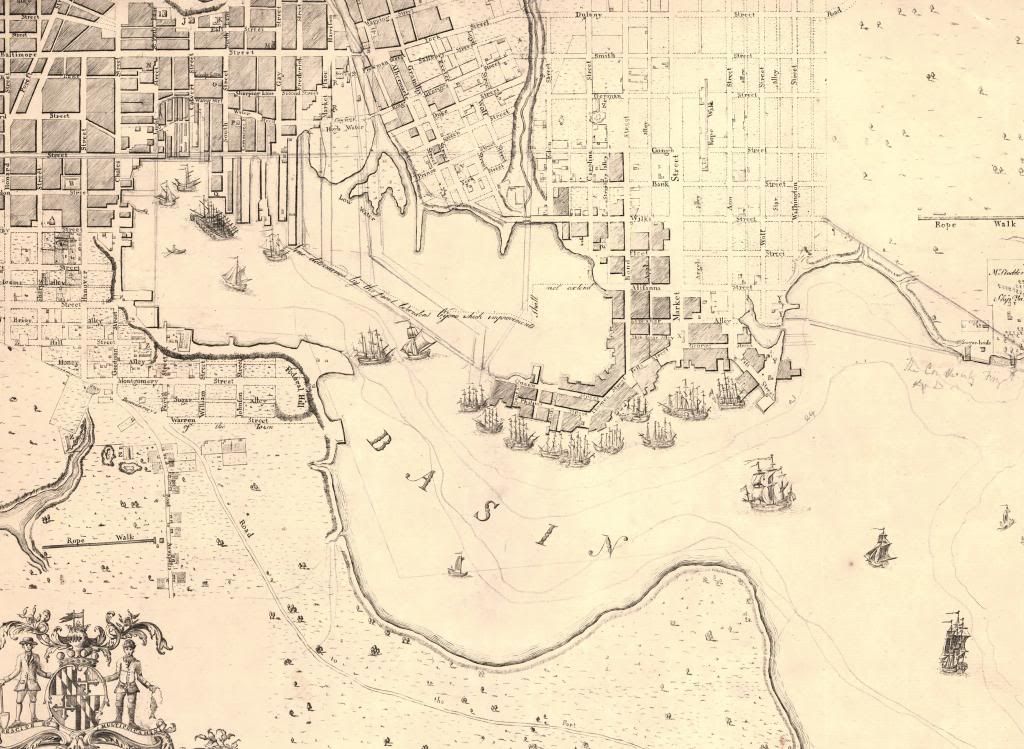
1792 Folies Map of Baltimore, harbor area only. This is the only map the doesn't come from the Sheridan Collection. You can find this at the Library of Congress or here.
1838 Boynton Map of Baltimore Harbor

1853 Water Commission Map, I like this one so much I put all of it up here, it has Baltimore City and some of Baltimore County

1855 Colton Map

1859 Weishampell Map

1895 Weishampell Map

No comments:
Post a Comment