Brandywine Trail End to End - The hike from hell


It hadn’t rained on the east coast for about a month, the place has been dry as a bone.   This last week had been a very busy week for me, I finally did my taxes, got ready for 3 trips, one to the Brandywine, one for 2.5 weeks in Guatamala and the third is going to be a two week work trip to Florida.  Friday morning I woke up early and packed the car to head for my last day of work at my present job.  I had planned to hike the somewhat flat Brandywine in my trail runners, but hearing the forecast might be for rain right before I left my house on Friday morning when it was still dark, I decided to grab my hiking boots in the event it rained.

The folks at my job threw me a little goodbye party and wished me well.  I headed up to Delaware in the beautiful warm sunshine; things were looking good.  I spent the night at the hotel d’Minivan at the Red Lobster parking lot in Talleysville, DE.   I woke up at 4AM to head toward the meet-up area for the race event.

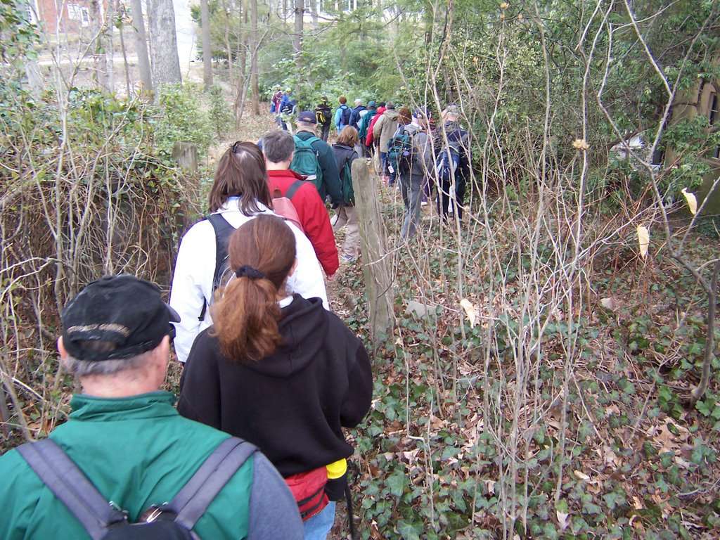
The Brandywine Trail End to End is sponsored by The Wilmington Trail Club.  Now, before you run out and start thinking about hiking this 36 miles of suburban fun, the only people allowed on the trail are member of the Wilmington Trail Club because some of it is on private property and you need special permission.  It starts somewhere in Pennsylvania and ends at the Brandywine Creek State Park in Delaware.  About 120 hikers were to load onto buses at 5AM and be driven in pitch dark to the trail head in Pennsylvania, where a whistle would be sounded at 6AM for the start of the race event.  

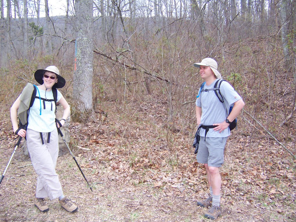
Before our bus left a nice man from the club informed us that the temperature was going to drop 10 degrees from where it was at now (50 degrees F) and it was going to rain all day.  Nobody left the bus, but I was a little suspicious because the 3 busses for the event didn’t seem very full.  I also don’t own any real hiking rain gear. As I had dressed earlier for the race event, I reached for my hiking boots only to find that in the Friday morning darkness I had grabbed two left-sided hiking boots from different pairs.  I was forced to work with the trail runners.   I had on my fleece jacket under a water-resistant bike jacket with my polyester-cotton blend yoga pants….and the trail runners.  I opted not to take the poles.

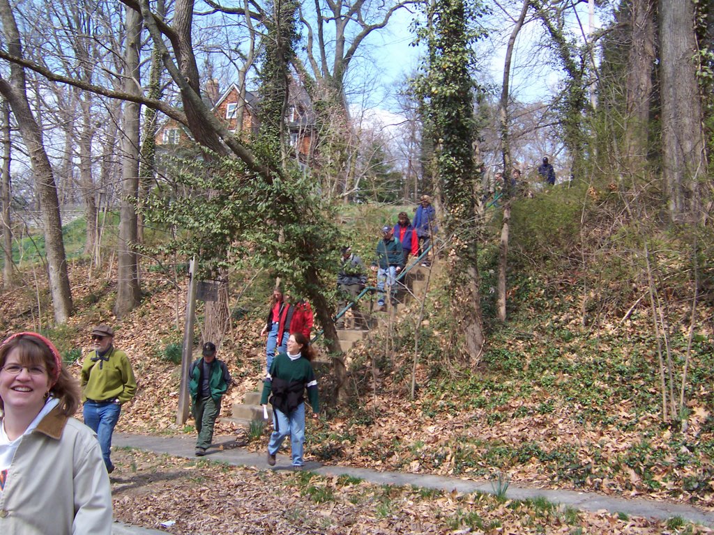
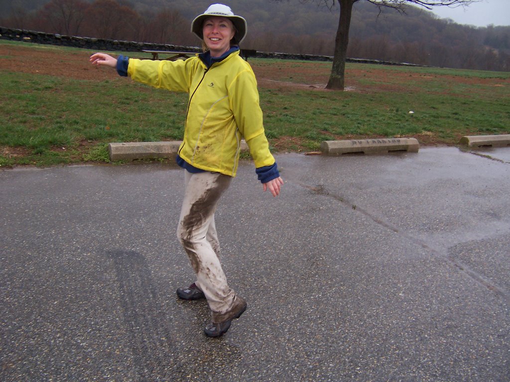
As soon as the whistle went off at the start it started to pour.  By mile 3 my feet were soaked.  Although the website described 12 miles of this trail was going to be on road, they really meant roads like with a double yellow line and cars and trucks.  What they didn’t tell us was that quite a bit of it was going to be on dirt roads, packed gravel roads and paved bike paths.  There were splashing cars, splash trucks, puddles, mud and more mud.  I had no poles so I couldn’t steady myself on the trail that was quickly turning into a very long slip-n-slide.  Conditions were harrowing.   Those that did take their poles found their fingers freezing into position around them due to the pouring cold rain.

Somewhere between checkpoint one and two, I don’t know whether it was when I fell on a slimy stream bank in the mud, when I had to traverse a freshly plowed field of mud (some farmer who owned land on the trail thought he’d show the hikers who was boss), or when I realized I could no longer feel my legs, I came up with the idea that I wasn’t having any fun.   At the checkpoint at mile 23, I (and just about everyone else who didn’t have proper raingear) opted to drop out.  The good news was that during the six hours that I raced participated in these hellish conditions, I managed to cover 23 miles, rendering my speed to be 3.83 mph.  During the shuttle back to the parking lot we passed Karen dressed neatly in hiking raingear who was still on the trail, she would have been maybe ½ mile ahead of me had a stayed in the race event.   I introduced myself to the other  drop-outs in the car and found out that 2 hikers, Tom and Barb, who I hadn’t met before but had heard legendary stories about their hiking abilities had also dropped out at the same place and time.  Barb was chattering pretty badly, Tom was doing his best to warm her up.  The hike organizers had told us they had to administer first aid to somebody on the trail who was suffering from hypothermia.  I am sure some more stories will be coming my way from this race event in the near future.

I just hate to have the words “dropped out” next to my name.


Update: They posted the picture album of the hike here.

Sherman Gap Trail revisted, Cindy Dee's restaurant

Yesterday I tagged along on yet another Mountain Club of Maryland hike. However, this hike was led by the dubious duo of Karen and Ron so you know there is going to be a story. The hike description said, "Be a fool and hike 15 miles on this scenic section of the Massanuttens." The key word in this description is "fool" as clearly the joke was on me.

As you can see from a previous post in January, I hiked this same trail with Patty and Dave and I knew from that experience that the elevation gain should be around 2000 feet. I figured Ron would add some mileage at the top of the ridge so the day shouldn't be that stressful....I should learn to ask more questions.

So, we start out at 7AM, we visit Karen's favorite diner, Cindy Dee's in Sandy Hook Maryland. Cindy Dee's is sort of a greasy spoon, with emphasis on greasy, but I was grateful for the breakfast stop. I innocently order a cheese omelet. Karen politely warns me that Cindy Dee's isn't the kind of place that uses real cheese, but I forge ahead with my order anyway. When I get my omelet I notice that much of the eggs weren't cooked but I figured the preservatives in the Velveeta would kill any wayward bacteria.

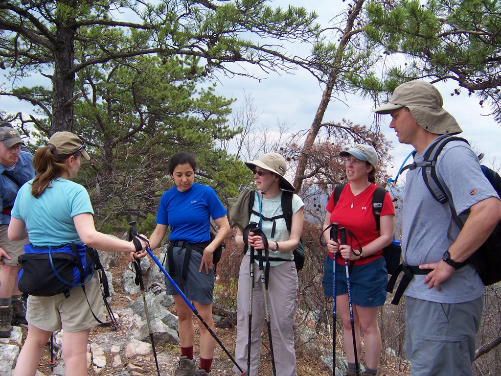
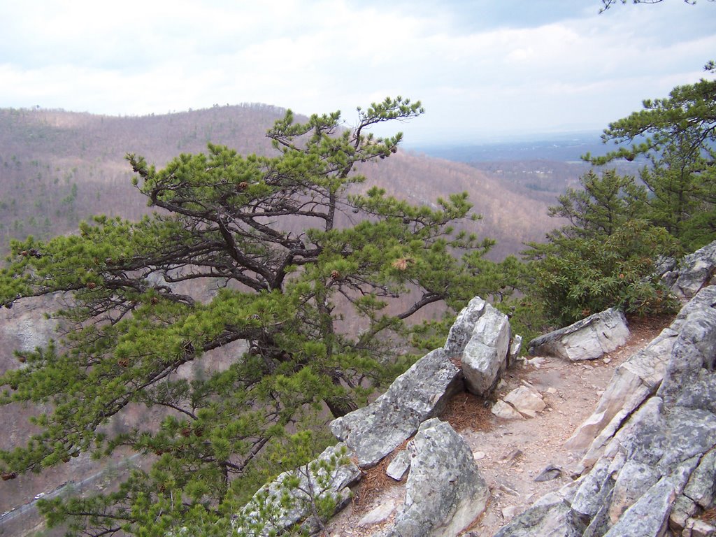
We get to the trailhead to meet up with Ron who has brought several hiking victims with him from some cabin they had rented. Ron makes some cursory statements about the hike that seemed somewhat vague, I don't listen very closely. We begin the ascent to Buzzard Rocks which went smoothly until I feel a warming sensation all over my body, I figure an early onset of menopause. The sensation gets worse and I start to clutch my aching stomach as I hike. By the time I get to the ridge I'm not feeling too well. Karen restates that she had warned me about the omelet order. It was at the crest that Ron then reveals that we are going to hike back down the mountain on the other side and then hike back up on the Sherman Gap trail,, resulting in double the elevation gain I though we were going to hike, his plan was to hike this mountain twice. At that point I become painfully aware of the potential ramifications of my situation.

Needless to say, my normally spunky hiking pace was seriously diminished. I did appreciate the lunch stop near the composting toilet at the Elizabeth Furnace trailhead though. Ron's cabin friends eventually caught on that this was going to be a severe death march, of which Karen and Ron are famous. Total distance was probably in the 15-16 mile range, elevation change was 3874 feet by a rough guesstimate.

On the way home we ate at John's My Pappy's Place in West Virginia, figuring that I may not survive two meals in one day at Cindy Dee's. Pappy's is on the West Virginia side of Route 340. It's clean, service is friendly and quick and the prices are cheaper than Cindy Dee's. Karen promises me that we will be having breakfast at Pappy's from now on.

Northern Baltimore City/Southern Baltimore County Hike

My friend Howard decided he wanted to arrange a city hike. He enjoys walking around the Northern part of the city in the tonier sections. This was a Mountain Club of Maryland event. I decided to tag along to offer moral support.

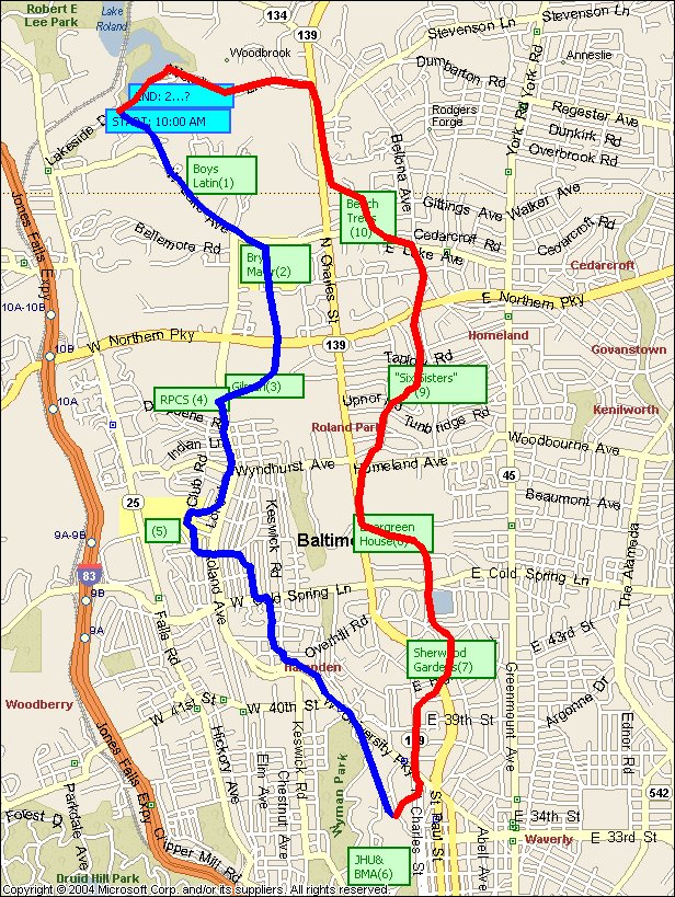
38 people showed up, for several of them it was the first time on a club event. Howard did an excellent job leading people through the suburban streets, down alleyways and foot paths. We visited the neighborhoods of Rodgers Forge, Roland Park, Evergreen, Sherwood and Homeland. We also got the tour of several educational offerings for Loyola College, University of Notre Dame, Boys Latin, Gilman, Roland Park School,and Johns Hopkins University. We returned through the very picturesque Robert E. Lee Park.

I came away with the impression that many people have much more money than I will ever have. I also believe that many people have to spend much more money and time supervising latino landscapers than me. Here are some pics:


Ocean City, Assateague, Layton's Family Restaurant, Maryland


I had a particularly stressful week last week and decided I needed to get out of town pronto. We all know that March comes in like a lion and ends like a lamb. I decided to force the lamb part of the equation and get back on my warm weather routine.

Ocean City, Maryland is about a 2 hour drive from Baltimore. I'm not much of a beach person but I wanted a mountain reprieve, besides one of my toenails is getting ready to fall off and I figured I would let the feet relax until that happened. So I headed to the ocean. OC is probably one of the ugliest beach towns there is on the planet earth. It has no trees, no charm and horrible architecture. Up until a few years ago it was ground zero for Maryland's graduating seniors and the local riff raff from Glen Burnie. But then, like the rest of the state, real estate prices started to sky rocket and the Arabs started blowing up airplanes so the rich started to see this place as a safe weekend haven.

Mind you, Ocean City, Maryland is still ugly. The good news is that due to its ugliness the big box retailers and chain stores have avoided the place like the plague resulting in an odd appeal as most of the restaurants, hotels and beach concessions are local homegrown goodness in a strange sort of way. Bobby Flay won't be opening up a restaurant here any time soon but you can get some very good Maryland-style meals here for reasonable prices.

I left for the ocean early Saturday morning and hit the beach for a quick 6 mile walk on the boardwalk. OC has about 3 miles of good people-watching boardwalk which runs parallel to a row of cheesy dollar-stores, teeshirt shops and temporary tattoo parlors. Although the sun was out it was a little on the cool side. After my walk I parked the minivan on a side street near the Convention Center and took a nap. My nap turned into a night's rest.

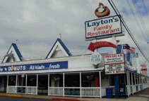
The next morning I woke at sun-up and went to Layton's Family Restaurant around 20th Street. I've never eaten there due to an addiction to the Dough Roller. However, the place was clean, the service exemplary and the food edible. I'd recommend it but I've only eaten there once.

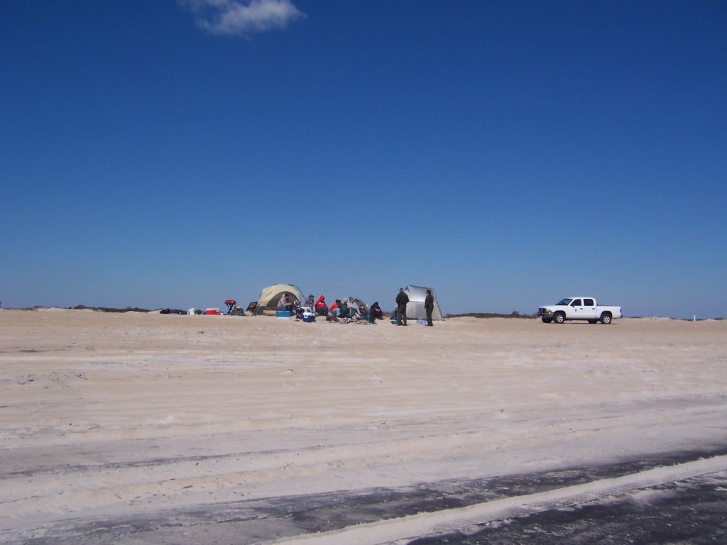
I wanted to get some mileage out of my recently purchased Golden Eagle pass. The sad news was that I got to Assateague Island National Seashore early enough so that I drove right into the park without anyone noticing, nobody asked to see my parks pass. I decided to take a walk on the South Beach portion of the island, heading south. It was a beautiful day, rather cool. There were a few backpackers and an entire group of boyscouts camping in the group campsite.
Please note, it was very windy and cold yet the backcountry was occupied. Marylanders can handle cold camping weather without a second thought unlike out west.

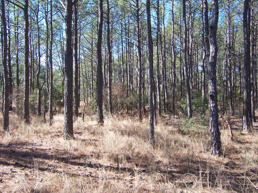
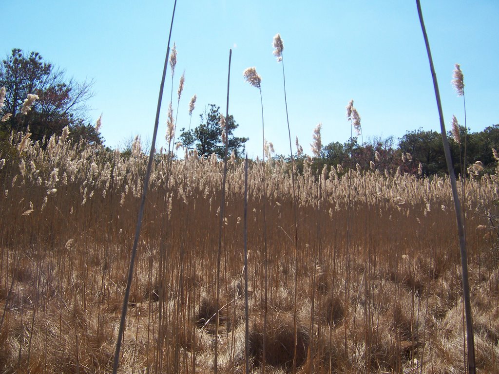
I also noticed as I walked there was a large group of young people camping directly on the beach. I knew that this was probably a big NPS no-no. I got bored with the beach walk and headed inland where I saw a no-trespassing sign. It seemed like a great day to trespass so off I went. I discovered an abandoned house. Then I decided to have some fun with myself....no no not that kind of fun. I tried to get myself as disoriented as possible and find my way out of the woods with no GPS or compass. I got completely lost in the marshlands and tall grasses, it was early so I wasn't worried. From the position of the sun I made an edumacated guess which was was east and found the ocean without a problem.


Unfortunately, when I walked out of the marshland I found some rather unhappy looking rangers hovering over that sorry group of young people camping on the beach. One of the rangers had the kids' cases of beer and it didn't look like he was going to give them back. I took a few pictures but I couldn't get too close to the situation, these were the type of rangers who had guns. Between the underaged drinking, the camping where you weren't supposed to camp and, most likely, driving around on the beach without the $70.00 ORV pass, these young kids were probably in for big big trouble, I felt pity for them, they were in desperate need of Cham's short course on Effective Rule Breakage.

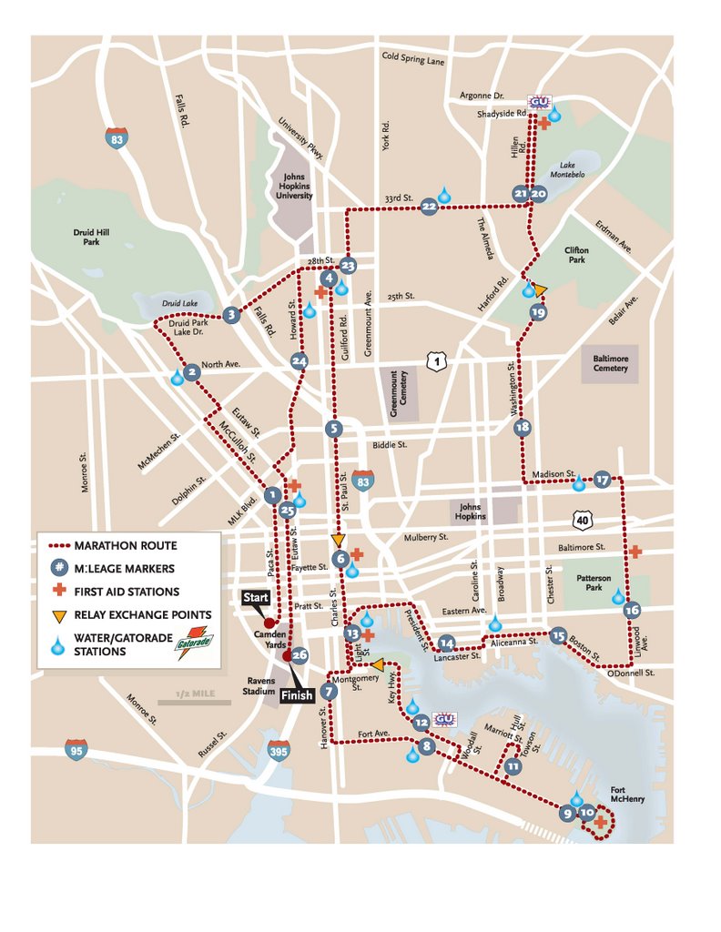
2006 Baltimore Marathon Route

For the last two years I have walked the Baltimore Marathon route alone. This year I decided to make it a hike through the Mountain Club of Maryland
and see if anybody wanted to take on this project with me. Although a few people called to find out about the hike, they seemed to back away from the 7AM start time and enthusiastic pace that I expected. Two people showed up, Howard and Mike.

We met at Rallo's for a hearty breakfast and strategized about our plan. The two men agreed to my West Side, East Side and South side loop idea. We would walk the marathon but in a different order than the actual race. Since both men were accomplished runners and hikers, we were able to start out our day at a brisk 5 miles per hour. The morning proved peaceful in the city and we were able to knock out the West Side by 10AM. We then headed over to the East Side where we noticed that the outdoors was quickly getting populated with, well, everyone. The temperature reached an unusual high today of nearly 70 degrees, people were acting like a groundhog to see their shadow and dress in their summer atire.

Things were going well until we (me) failed to make a turn onto Linwood Street taking us about a mile out of our way. Mike and Howard were not pleased, but since they had both lost their maps that I had supplied to them so graciously I did not acknowledge their smart-aleck remarks. I (we) decided that since we had gone more than a little out of our way we would eliminate the extra mile on Hillen Street near Lake Montebello. In the midst of our heated discussion on the matter a nice lady stopped us and asked us if we were lost since we were looking so intently at the (my) map. She implied that she was concerned about our paler complexions as being a little different than the darker complexioned inhabitants of the areas. She said, "You do understand you are right in the middle of THE HOOD!" We thanked her for concern and explained about our quandry and that we were not lost at all.

Howard had mentioned beforehand that he only wanted to do about half the hike but he valiantly kept up with mine and Mike's rather fast pace. We ate lunch at the Charles Village Pub and took some painkillers for the walk home. Both Mike and I started to experience blisters all over our feet and were enjoying the sensation of having them pop and soak our socks with bodily fluids.

We (me) decided to head through the harbor on our way back to South Baltimore over Howard's objections. Hindsight being 20/20, Howard had a point. It was around 2PM and everyone in the tri-state area had descended on the Inner Harbor to enjoy the lovely weather. We made our way through the crowds with Howard scowling.

We got back to Rallo's to drop Howard off at his car, he had walked an unexpected 23 miles. Mike and I headed east to ambulate the Fort McHenry loop. The wind near the water provided a comforting breeze. I arrived home at 3:40PM, we had started at 7:40 AM and took an hour for lunch, so we walked the route(marathon routes are 26.2 miles) in 7 hours, rendering our average speed at 3.74 mph.

For more information on The Baltimore Marathon, go here.