Ernesto came to town and dumped massive amounts of rain on the mountains, I didn't realize how this would affect me. I thought I might be able to do something with Saturday so I left Friday night. I made it all the way to Flint Hill and got sick of the rain so I spent the night in a shopping area parking lot. It was still raining when I woke so I decided to take the car along the north section of Skyline drive. It was raining a lot at the top of the mountain. I had some fun arguing with the park rangers about back country permits, until they caved and told me they could make special arrangements for me if I needed.
I couldn't do much else with the day but read some magazines in the Wal-Mart parking lot and wait for it to clear up.
 This picture, BTW, is of the Luray Recreational Park's attack dog. When you do any cooking at this place this pomeranian will antagonize you until you hand over some turkey bacon. I spent the night at the Little Devil's trailhead which was very nice and dark, off of Keyser Run Road. I got up and hit the trail around 9AM on Sunday, and realized I had made a bit of a mistake, well, a huge mistake.
  Keyser run usually is just a picturesque trickle, but after two days of steady rain it was more a series of raging waterfalls. There are 14 stream (river) crossings on Little Devil's Staircase which are usually a piece of cake, on Sunday it was a real chore not to get the socks wet.
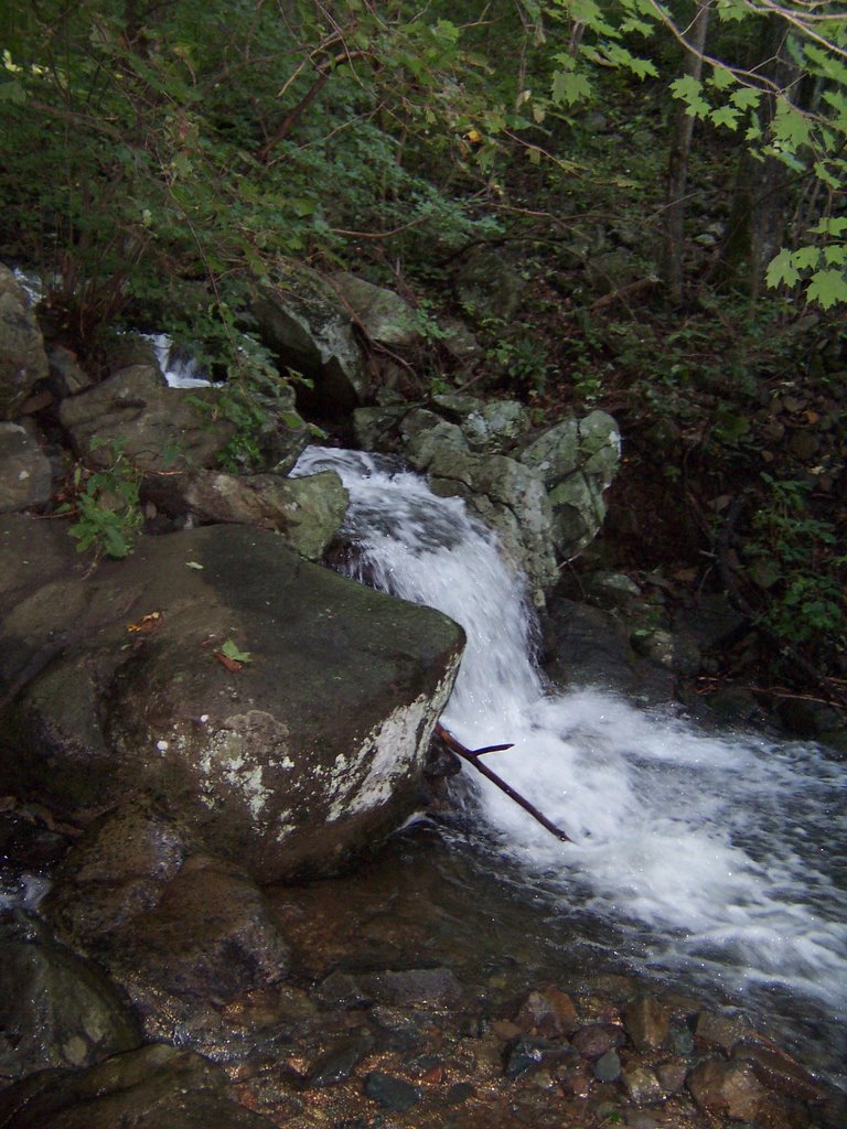
The trail was slippery as well.
I managed to make it to the top with one wet and one dry sock. I changed socks and thought that I had finished with the problems.
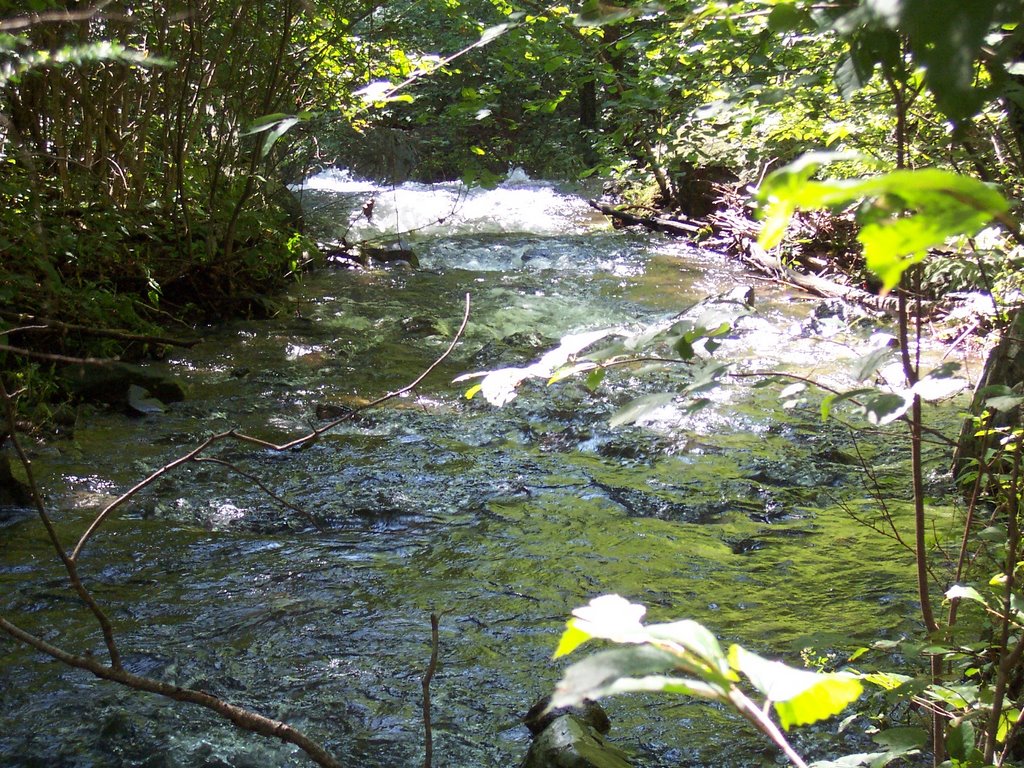 Not so, when I got to the headwaters of Piney River, it was raging. I had to take off my shoes to get across. Then, of course, I hit the dreaded Skyline Drive. I don't know what the allure is, people drive this miserable road, see almost nothing except overlooks and then stop off at
 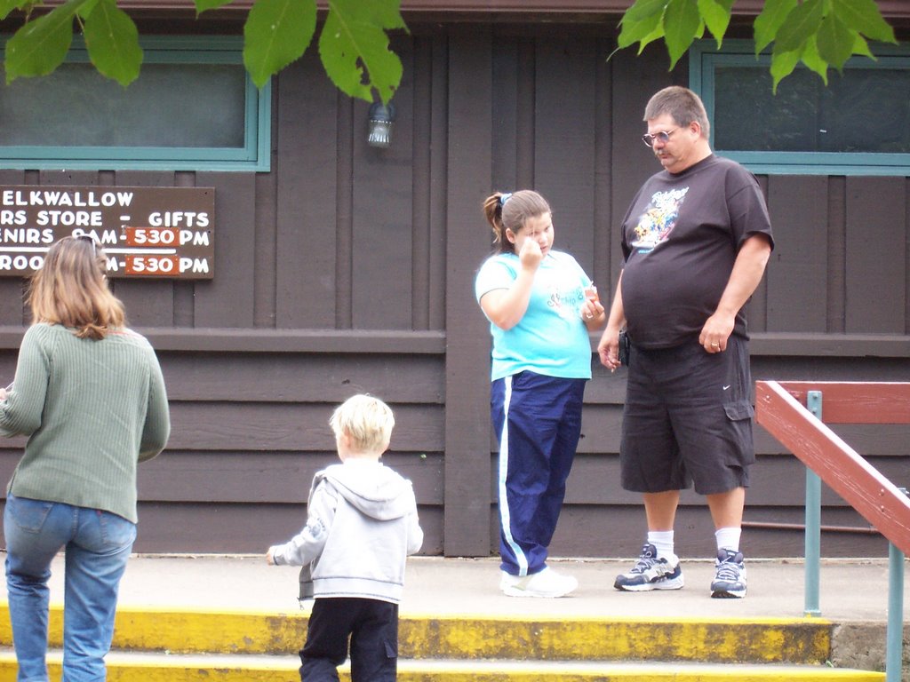 the Elkwallow Wayside concession to eat unhealthy food and smoke cigarettes. I can think of better ways to spend the day.
I had to do an easy stretch on the AT to get to the Thornton River Trail, an easy descent but an additional 5 river crossings. The plan was to take the Hull School Trail back to the car. I was going slower than normal because of more treacherous stream crossing and the slick surface of the trail. But I thought I was doing pretty well for time. There is a small problem with the trail markers in the Shenandoahs. They are printed on a metal band wrapped around a concrete pole. You have to have the eyes of the bionic woman to read them. Although I had been in the area before, the whole area looked different due to all the raging water around me. I failed to read the trail markers at every intersection, and I made a really really big booboo.
I went the wrong way.
The sun was going down.
I realized what I needed to do to get back on track and it was 50/50 whether I would make it back to my car before sundown. I had a light jacket, a whistle and headlamp, as well as plenty of food with me but I really didn't feel like using the braille method to get me out of the woods. Luckily there were 2 fly fishermen in the woods and I did something that is very unusual for me.....ask for help.
I told the fishermen about my predicament and asked for a car ride to my car, which they happily obliged. I gave them $10 for their trouble and told them to buy themselves a beer. Even with the wrong turns I still managed about 18 miles and about 3700 feet of elevation change.
I spent the night on Happy Creek Road in Front Royal, where there is a great deal of high speed unsecured WiFi. I made my way back to Baltimore via Winchester, Martinsburg, Williamsport and Hagerstown.
2 comments:
I dig the doggy.
Yeah the pomeranian looks menacing. I bet you were frightened.
Post a Comment